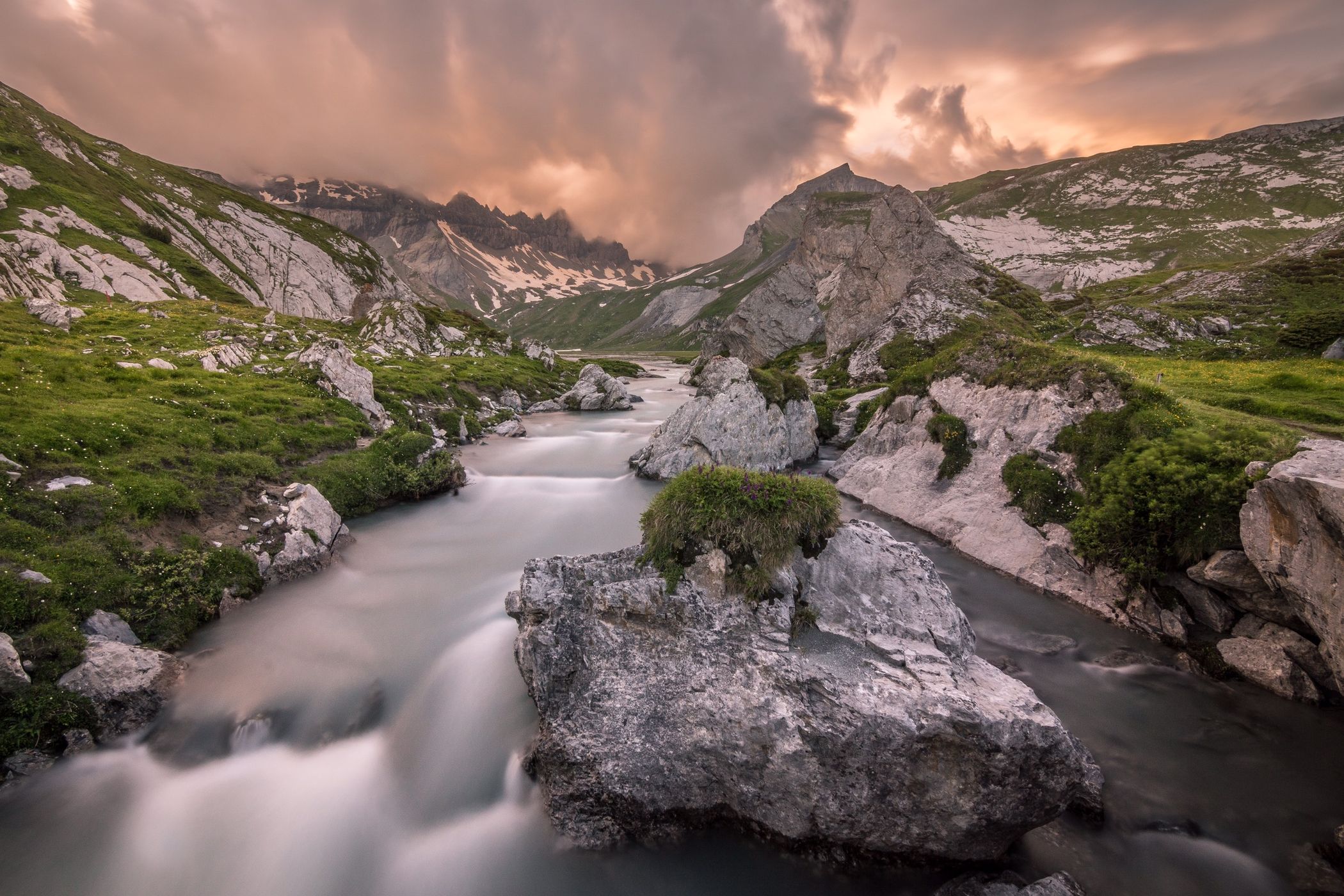

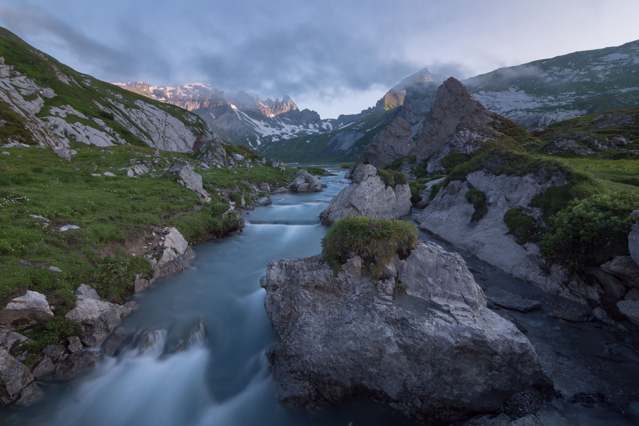
Switzerland Unterer Segnesboden
The Segnes Plain collects the water from several sources in the area. It is part of the Sardona UNESCO world heritage site. From this natural bridge you get a great view of the surrounding peaks.
Photography Tips
Wide angle and tripod needed. Use ND filters to blur the water.
You are on 2100m, dress accordingly. Temperature drops fast after sunset. Decent hiking boots a must.
Nature is extremely fragile up here. Don‘t leave a trace as usual.
You are on 2100m, dress accordingly. Temperature drops fast after sunset. Decent hiking boots a must.
Nature is extremely fragile up here. Don‘t leave a trace as usual.
Travel Information
You can walk from Flims (4hrs, 1250m climb) or take a cable car to Naraus and walk from there (1 1/4 hrs, 250m climb). There is a hut to stay over.
Spot Type
Outdoor
Crowd Factor
Nearly no other people
Best Timing
Sunrise in summer
Sunrise & Sunset
05:47 - 21:10
| current local time: 21:43
Photo Themes
Mountain River
Mountainscape
Locations
Graubünden
Swiss Alps
Flims
Sardona


Spot comments (0)