
United Kingdom Cromarty Firth
The Cromarty Firth is one of the deepest natural estuaries in the UK and has hosted many of the naval fleet in past years along with all kinds of modern liners.
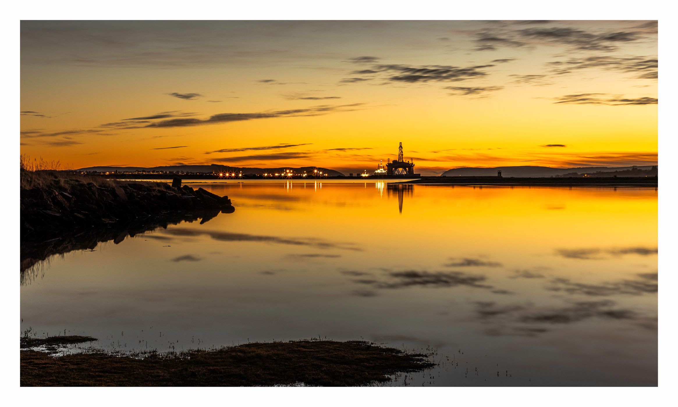
The area is famed for the use as a parking area for oil rigs that can usually be seen in the water close to the shore, at Invergordon they dismantle and maintain the rigs.
It is hoped to be come a green port with a strong case as a Hydrogen base.
The area is famed for the use as a parking area for oil rigs that can usually be seen in the water close to the shore, at Invergordon they dismantle and maintain the rigs.
It is hoped to be come a green port with a strong case as a Hydrogen base.
Photography Tips
there are a range of options around the firth from the Black Isle (sunset) and the Alness to Nigg offering great photo scenery.
Access is great and there's lots of unusual spots still to be found.
Access is great and there's lots of unusual spots still to be found.
Travel Information
A9 north and once you have crested the Black Isle you can have your pick of places.
Spot Type
Outdoor
Crowd Factor
Nearly no other people
Best Timing
All timings are equally good
Sunrise & Sunset
04:47 - 21:59
| current local time: 04:12
Photo Themes
Seascape
Sunrise
Locations
Scotland
Invergordon


Spot comments (0)