

United Kingdom Arisaig
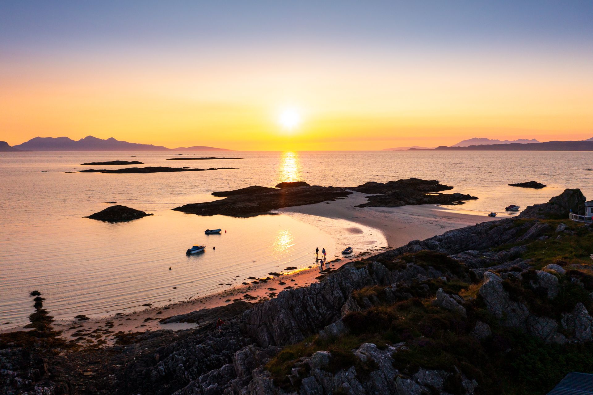
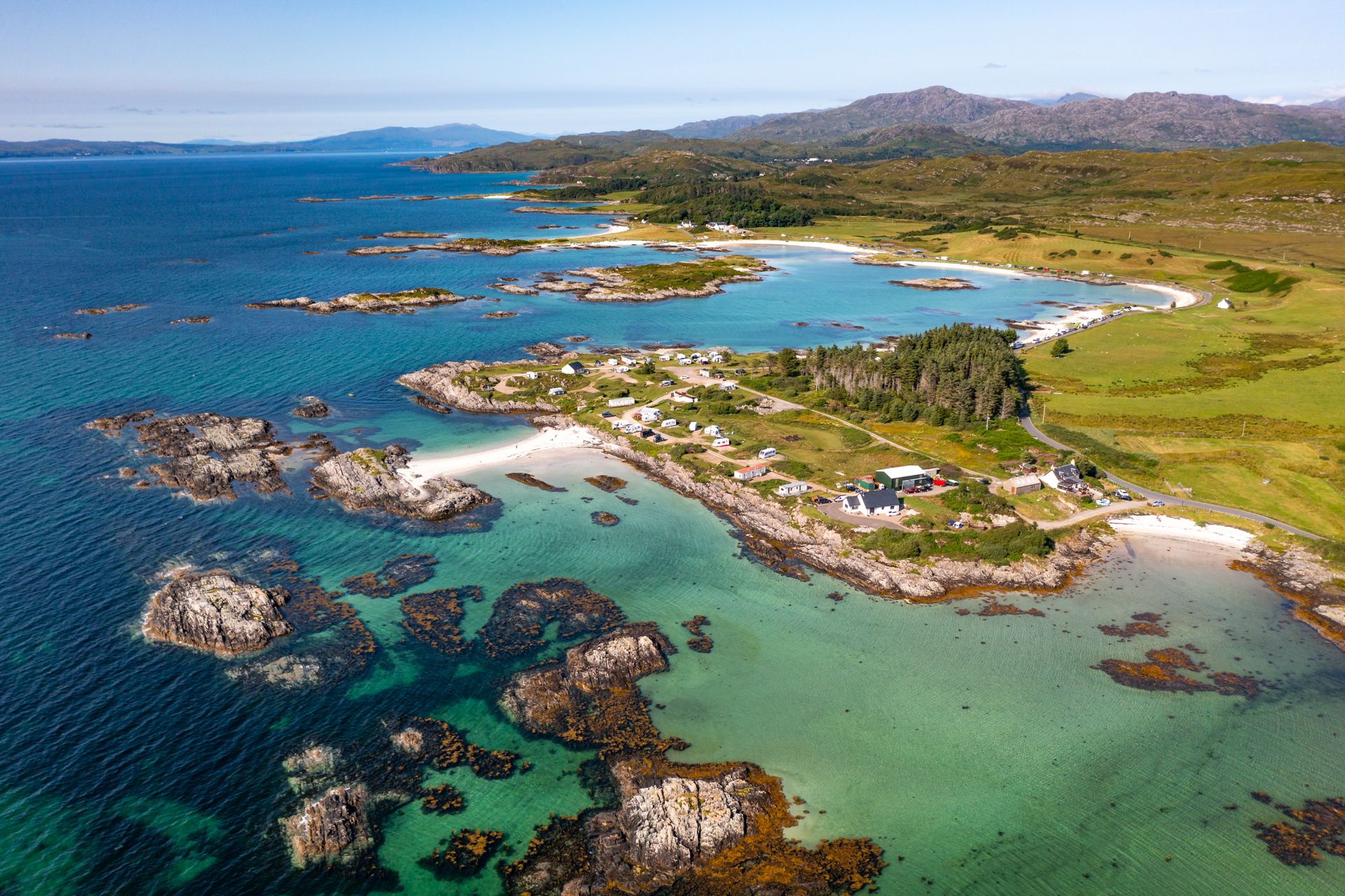
This stretch of coastline near Arisaig is a patchwork of turquoise shallows, rocky islets, and sweeping white-sand beaches that look more Caribbean than Scottish Highlands, especially from above. The drone’s perspective reveals the full complexity of the seascape: gently curving bays, scattered cottages, and tidal pools glowing in the sunlight. With the islands of Eigg and Rum anchoring the horizon and the hills of Moidart rolling inland, the area feels like a wild and timeless escape, even in peak season.
Photography Tips
A drone unlocks the area’s full visual potential, particularly in the midday hours when the sun highlights the vivid aqua tones of the shallow bays. Fly low to emphasize shoreline textures and tidal patterns, or go high for layered compositions showing the coastline, islets, and distant mountains. Use a polarizing filter to cut glare on the water and enhance color contrast. Shooting in RAW will give more flexibility in recovering detail from highlights and shadows, which can be tricky in bright sun. Avoid flying too low over campsites or boats to respect privacy.
Travel Information
This area is accessible via the scenic B8008 road west of Arisaig, with several informal parking spots and small turnoffs leading toward beaches. The coastal stretch is popular with campers, particularly around Portnaluchaig and Back of Keppoch, where numerous caravan and tent sites offer direct access to the shore. While most beaches are public, some lie adjacent to private land—stick to marked paths and avoid driving on grass. The area has limited mobile reception and few amenities, so plan ahead and bring essentials. Early morning and midweek visits tend to be quietest for both flying and shooting.
Spot Type
Drone
Crowd Factor
Nearly no other people
Best Timing
Summer
Sunrise & Sunset
05:05 - 21:54
| current local time: 17:35
Photo Themes
Drone
Highland
Locations
Scotland
Highlands
Scottish Highlands


Spot comments (0)