This photo is copyrighted by the author.
Thank you for respecting the rights and efforts of our photographers. Please contact the author for further information.

United Kingdom Limehouse Basin

  • Please log in or sign up for free to see the GPS coordinates & weather for this photo spot
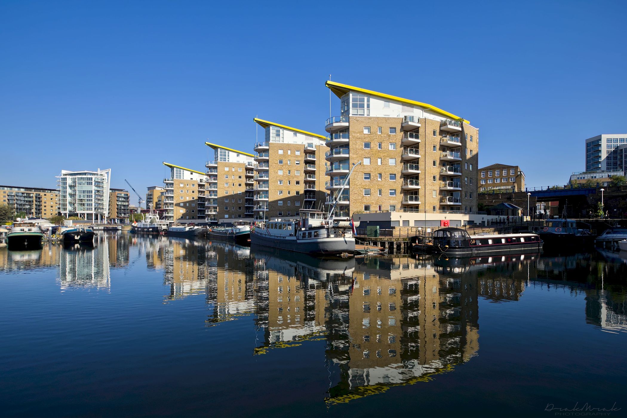
Limehouse Basin is a body of water two miles (3.2 km) east of London Bridge that is also a navigable link between the River Thames and two of London's canals (Limehouse Cut and Regent's Canal).

Photography Tips

Interesting place to shoot water reflections.
The best light is in the morning

Travel Information

Between Shadwell and Canary Wharf.
DLR - Limehouse
Spot Type Outdoor
Crowd Factor Just a few people
Best Timing All timings are equally good
Sunrise & Sunset 04:42 - 21:14 | current local time: 16:50
Photo Themes dock Modern Architecture reflection

Get the exact geo-position for this spot

Log in to see the GPS coordinates, sun directions, and the map for this photo spot. Or simply bookmark it along with other spots to plan your next trip.

Spot Comments (0)

Please log in or sign up for free to leave a comment or ask a question.

Ratings (1) starstarstarstarstar

starstarstarstarstar
0
starstarstarstarstar
1
starstarstarstarstar
0
starstarstarstarstar
0
starstarstarstarstar
0

Popular photo spots in this region

Thank you Zdeněk "DrakMrak" Charvát for creating this photo spot in United Kingdom.
Imprint & Contact © Locationscout 2025 Privacy / Terms