
USA Mount Hood, Oregon
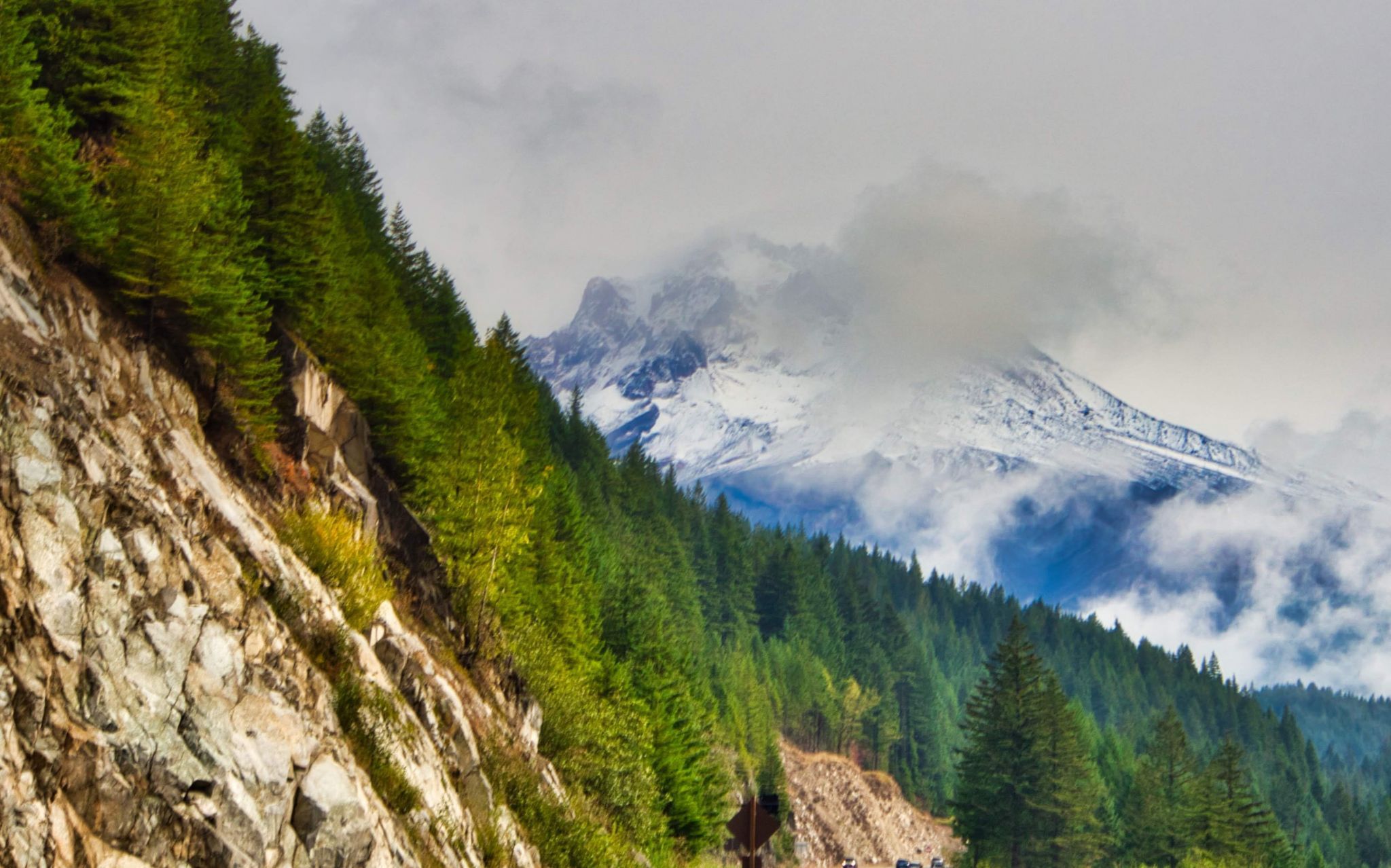
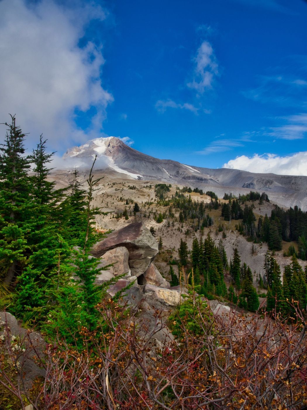
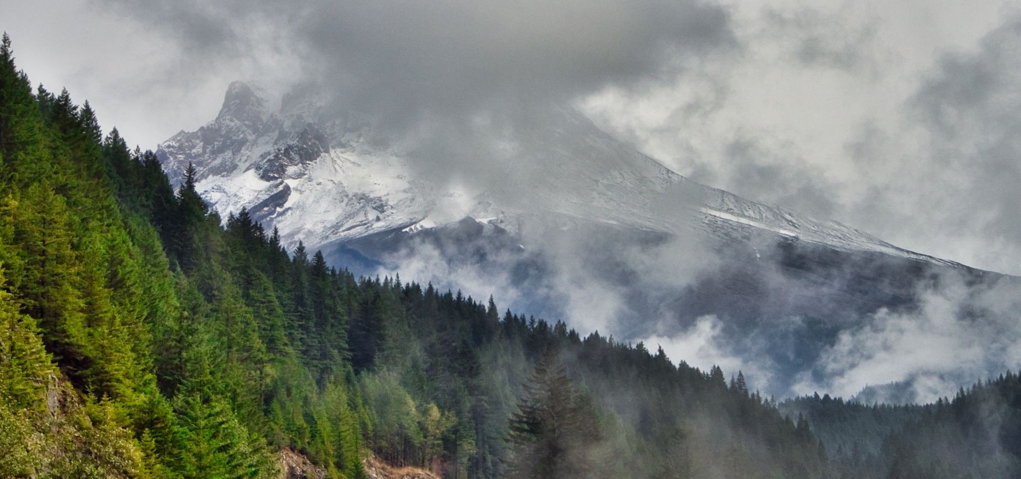
Mount Hood is a stratovolcano in northwest Oregon located about fifty miles east of Portland and thirty-five miles south of the Columbia River. At 11,244 feet, it is the highest point in Oregon and the fourth highest peak in the Cascade Range. Mount Hood is visible on a clear day from Portland and other areas in The Columbia Valley.
Photography Tips
Check weather conditions as overcast skies may obscure the beautiful Mount Hood.
Travel Information
The spot is along the Timberline Highway towards the Lodge.
Spot Type
Outdoor
Crowd Factor
Just a few people
Best Timing
Fall
Sunrise & Sunset
05:37 - 20:48
| current local time: 01:51
Photo Themes
Iconic
Landscapes
Mountains
Mountainscape
snow landscape
Locations
West Coast
Mount Hood National Park
Oregon
Mount Hood


Spot comments (0)