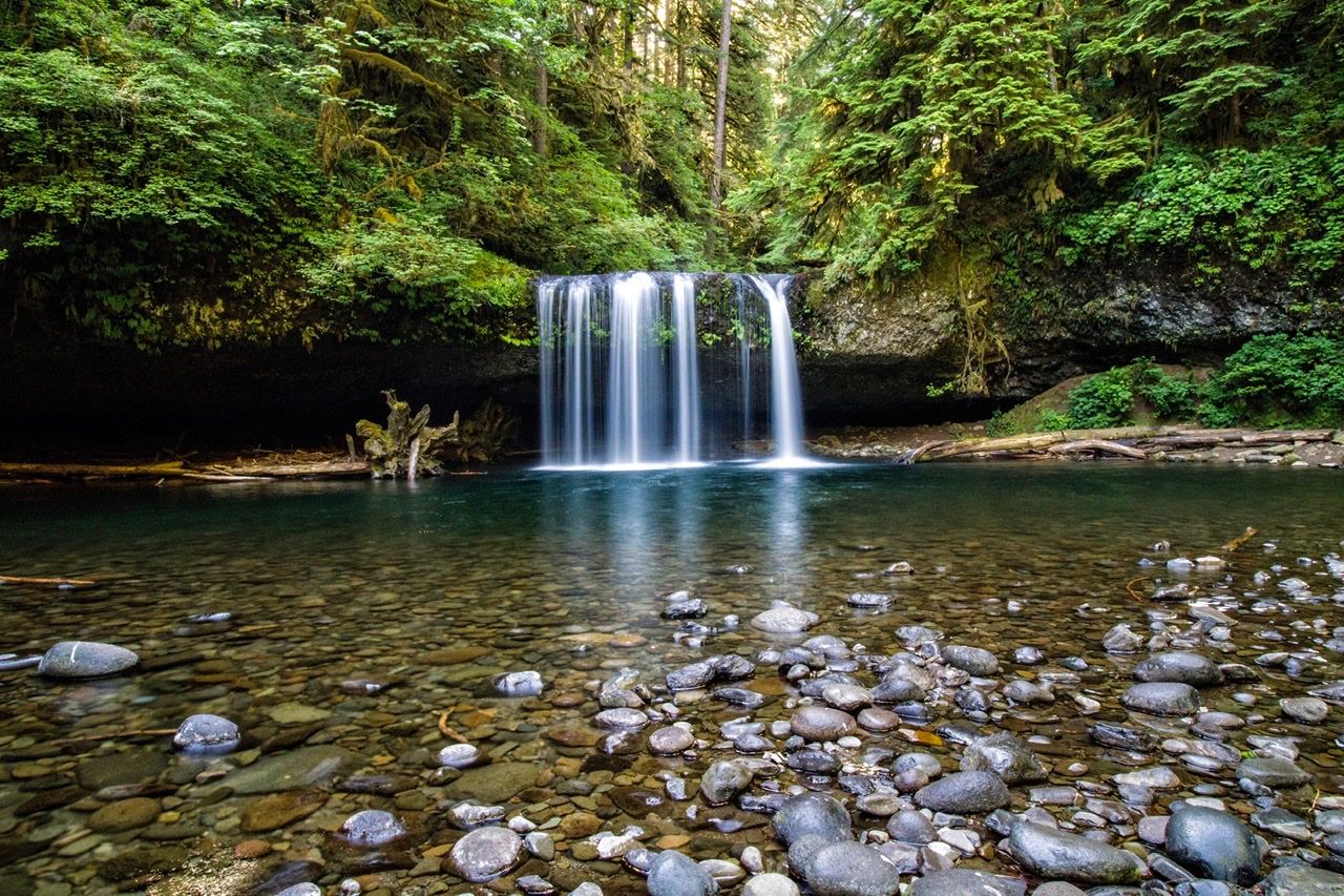

USA Upper Butte Creek Falls
A beautiful twenty foot waterfall that you can walk behind, most of the time. The 1.1 mile loop hike to the waterfall goes through a beautiful rainforest. Lower Butte Creek Falls is on the loop and is also beautiful.
Photography Tips
A wide open northerly exposure ensures the falls see sunlight in the summer but should be shaded most of the day during the winter. Early morning is best for photography.
Travel Information
From Scotts Mills, Oregon in downtown Scotts Mills near the post office, turn left (east) onto Maple Grove Road. From Maple Grove Road, turn south onto Sawtell Road until you reach the end of the pavement which will then turn briefly to Family Camp Road and then to the Butte Creek Mainline. From the Butte Creek Mainline, turn right onto the Butte Creek 500 and then right onto the Crooked Finger 400 Road which will lead you down to the Butte Creek Campground and Butte Creek Falls. There are restrooms near the trailhead.
Spot Type
Outdoor
Crowd Factor
Just a few people
Best Timing
Sunrise in fall
Sunrise & Sunset
05:41 - 20:51
| current local time: 21:43
Photo Themes
Waterfall
Locations
Oregon


Spot comments (0)