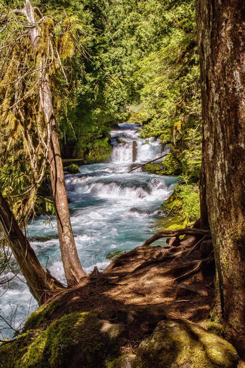

USA McKenzie River Trail
Passing Clear Lake, the McKenzie River Trail trail descends sharply to the dramatic Sahalie Falls and Koosah Falls and then around Carmen Reservoir where the river disappears underground for much of the year. About 2 miles further, the river emerges into the stunningly beautiful and crystalline Blue Pool at Tamolich Falls. The brilliant blue water almost doesn’t look real. There are numerous other cascades along this gorgeous riverside hike.
Photography Tips
This trail is also popular with cyclists so be aware when you’re setting up for shot.
Travel Information
From McKenzie Bridge, OR, take Highway 126 east 17 miles to the north side of Clear Lake Resort. Turn right (east) on Forest Road 777 to find Upper McKenzie River Trailhead at the end of the road.
Spot Type
Outdoor
Crowd Factor
No info yet
Best Timing
All timings are equally good
Sunrise & Sunset
05:41 - 20:47
| current local time: 21:25
Photo Themes
Riverside
Locations
Oregon


Spot comments (0)