
USA Hurricane Mesa
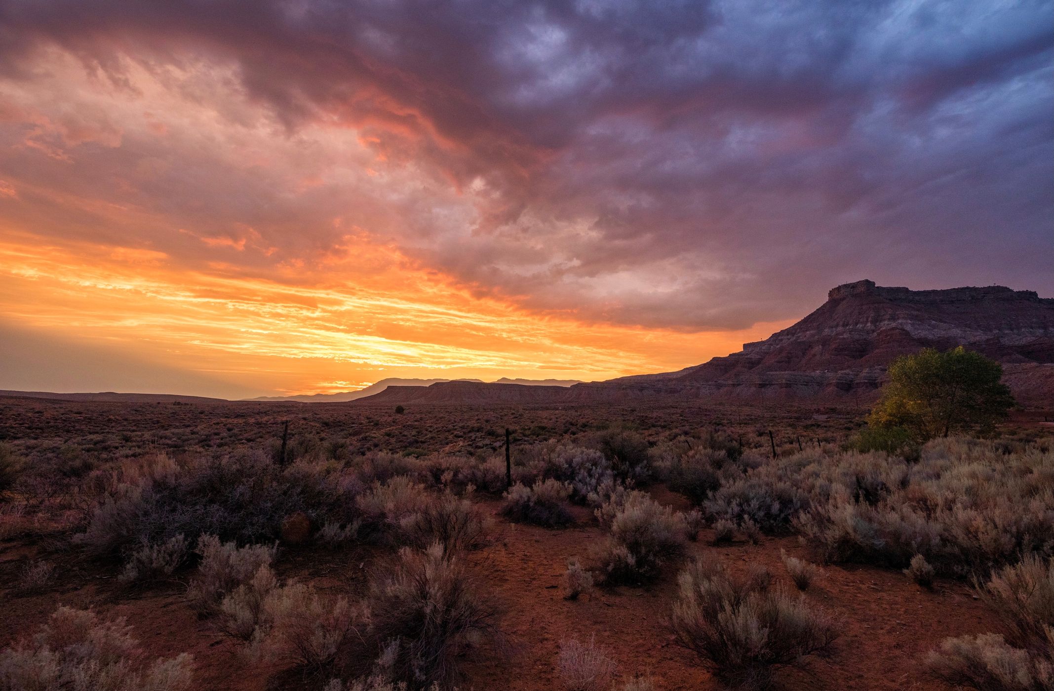
En route to Zion National Park, there are a half dozen dirt roads that peel off the south side of highway SR9 west of Virgin, Utah. The roads lead to views of Hurricane Mesa, Smith Mesa, and Gooseberry Mesa. It’s also possible to make your way to near the edge of the Virgin River Gorge with the mountains of Zion NP in the distance.
Photography Tips
Great area for sunrise and sunset photography.
Travel Information
Drive down any dirt road between mile markers 14 and 17 off of SR9. The roads can be a sloppy mess after a heavy rain. Or since I shot this from the patio of my home, just ring my doorbell and we’ll have a beer and watch the sunset.
Spot Type
Outdoor
Crowd Factor
Nearly no other people
Best Timing
Blue hour/at night
Sunrise & Sunset
06:31 - 20:47
| current local time: 17:12
Photo Themes
Desert Landscape
Locations
Utah


Spot comments (0)