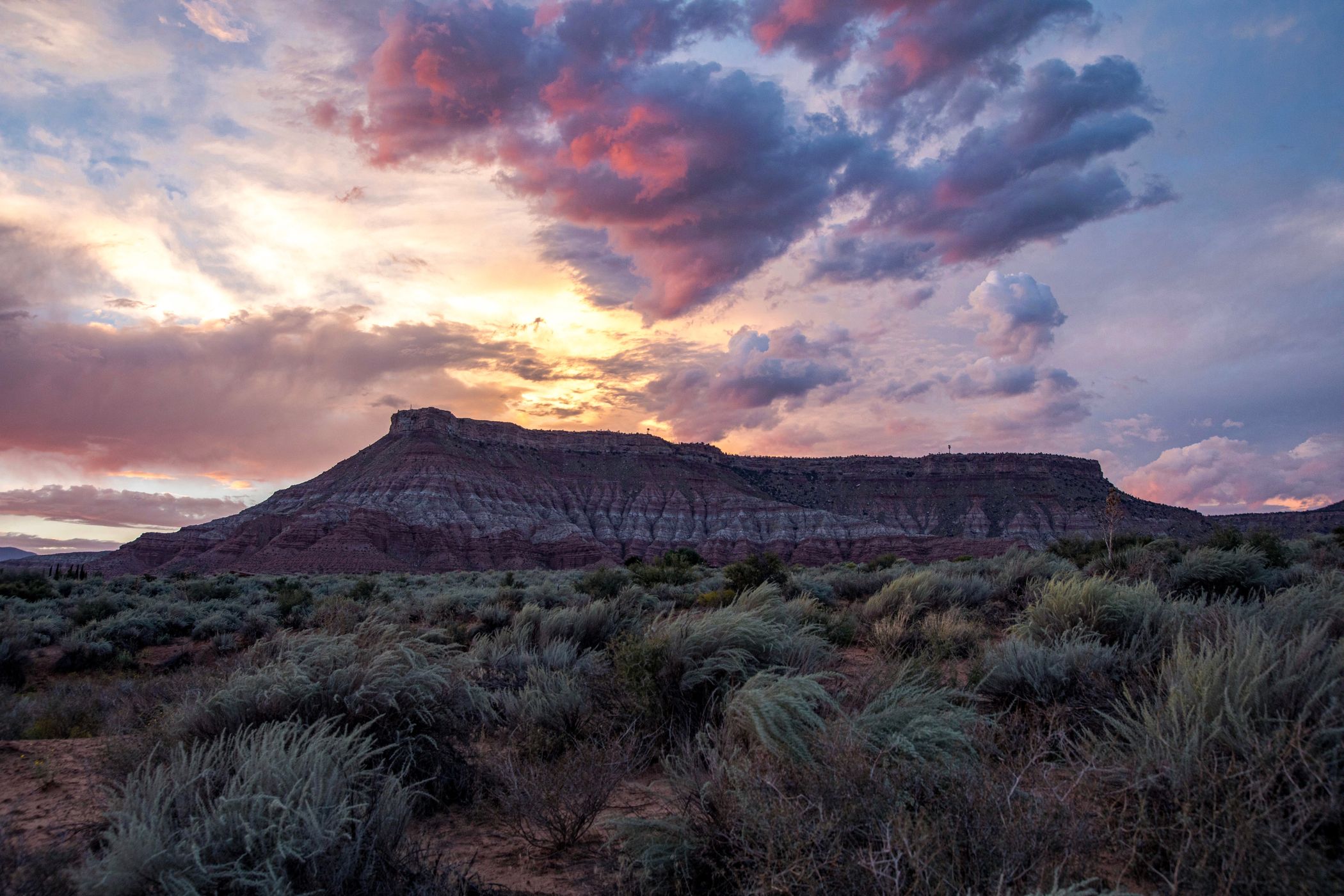
This photo is copyrighted by the author.
Thank you for respecting the rights and efforts of our photographers. Please contact the author for further information.

USA Hurricane Mesa

  • Please log in or sign up for free to see the GPS coordinates & weather for this photo spot
Formerly the Hurricane Supersonic Research Site (HSRS) operated by the United States Air Force. Now privately owned and used to test military ejection seats. The site is closed to the public and can only be visited and toured via appointment. The facility is not visible from below the mesa rim. The mesa is located about 15 miles/24 km west of Zion National Park.

Photography Tips

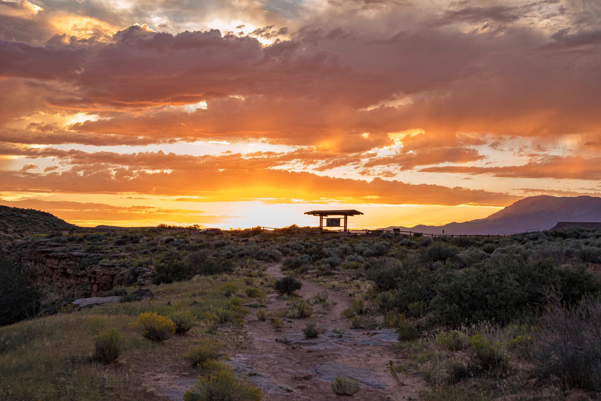
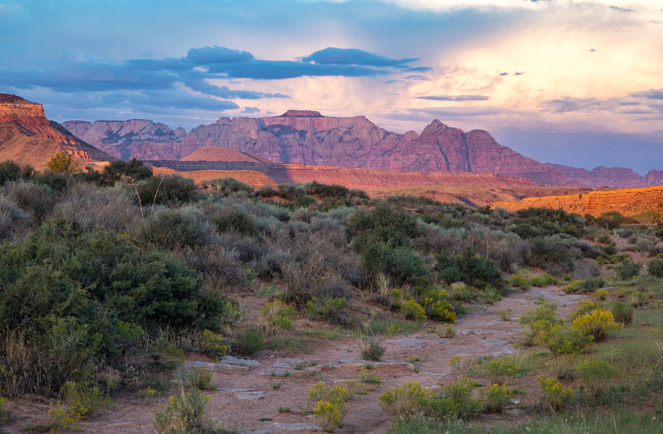
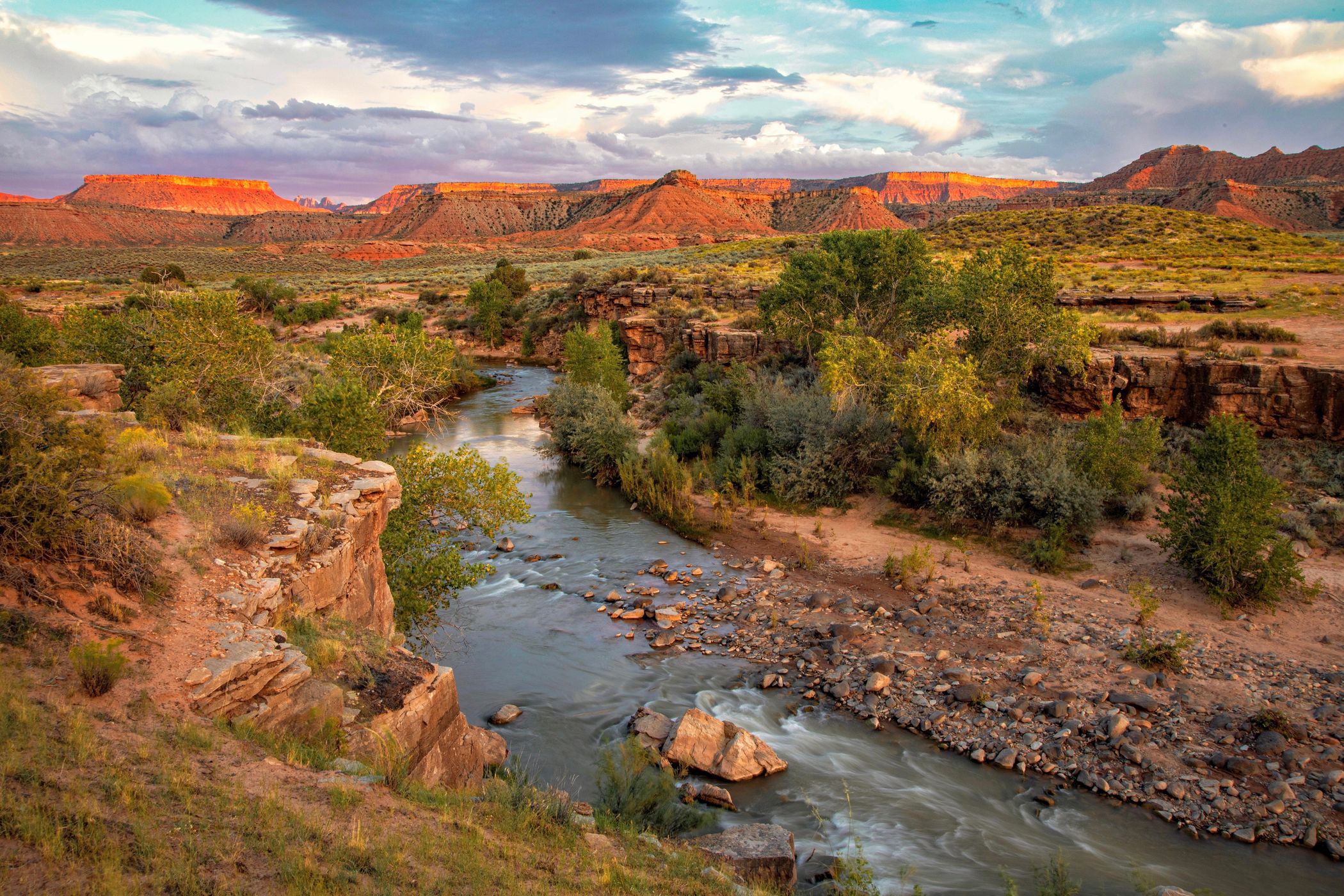
From this (exact) spot, the view to the north is Hurricane Mesa. Turn to the east for a shot of Zion National Park’s West Temple, to the south for the Virgin River Gorge, and to the west for the parking lot at sunset. A tripod is needed for optimum results.

Travel Information

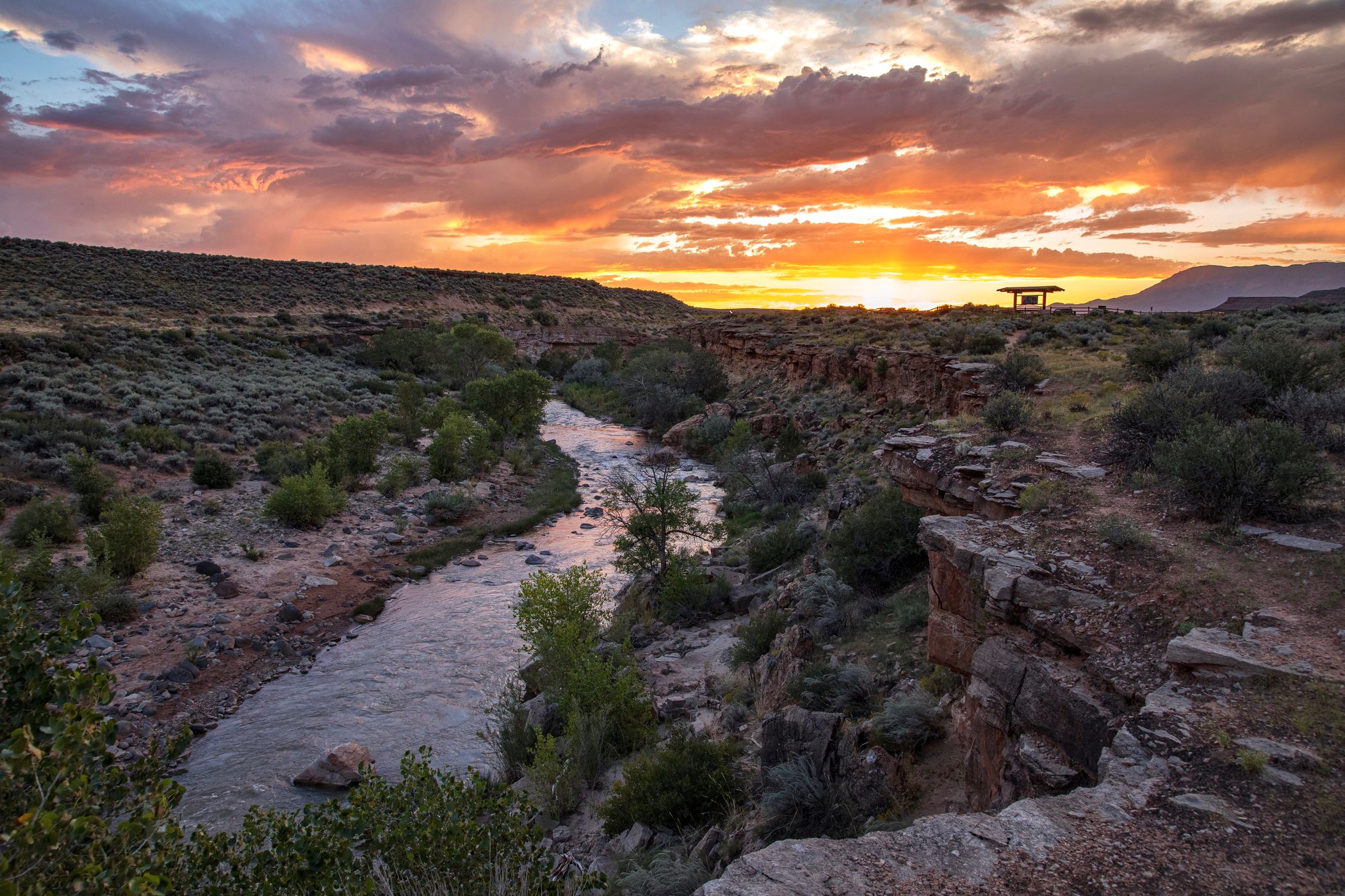
From Highway SR-9, turn south on Sheep Bridge Road and drive 0.4 miles/0.64 km to a parking area on the left. The parking area is just a few yards north of Sheep Bridge.
Spot Type Outdoor
Crowd Factor Nearly no other people
Best Timing All timings are equally good
Sunrise & Sunset 06:33 - 20:25 | current local time: 15:12
Photo Themes mountain view
Locations Utah Virgin

Get the exact geo-position for this spot

Log in to see the GPS coordinates, sun directions, and the map for this photo spot. Or simply bookmark it along with other spots to plan your next trip.

Spot Comments (0)

Please log in or sign up for free to leave a comment or ask a question.

Ratings (1) starstarstarstarstar

starstarstarstarstar
0
starstarstarstarstar
0
starstarstarstarstar
1
starstarstarstarstar
0
starstarstarstarstar
0

Popular photo spots in this region

Thank you Gary Leverett for creating this photo spot in USA.
Imprint & Contact © Locationscout 2024 Privacy / Terms