

Iceland View from Valahnjúkur walk, Þórsmörk
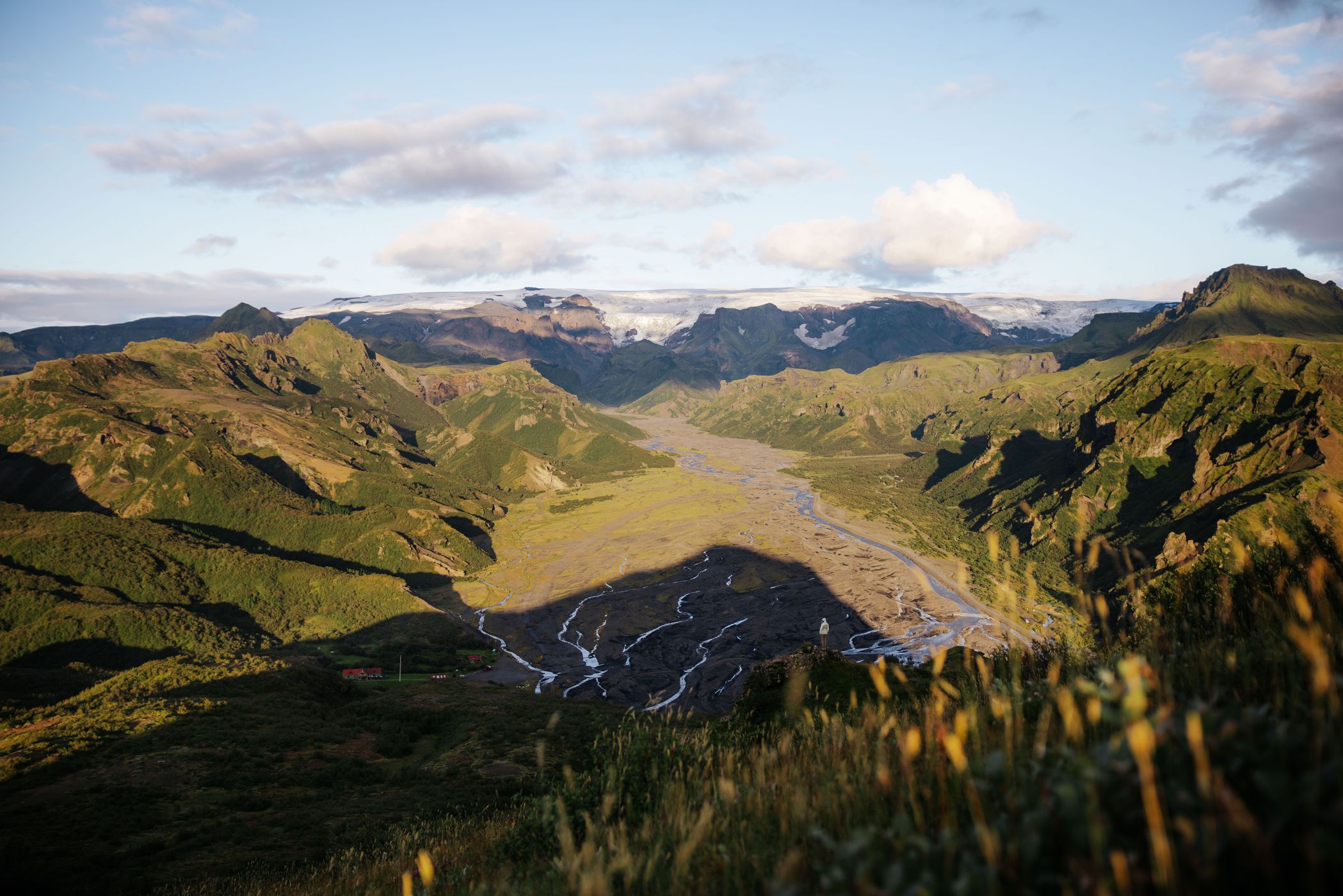
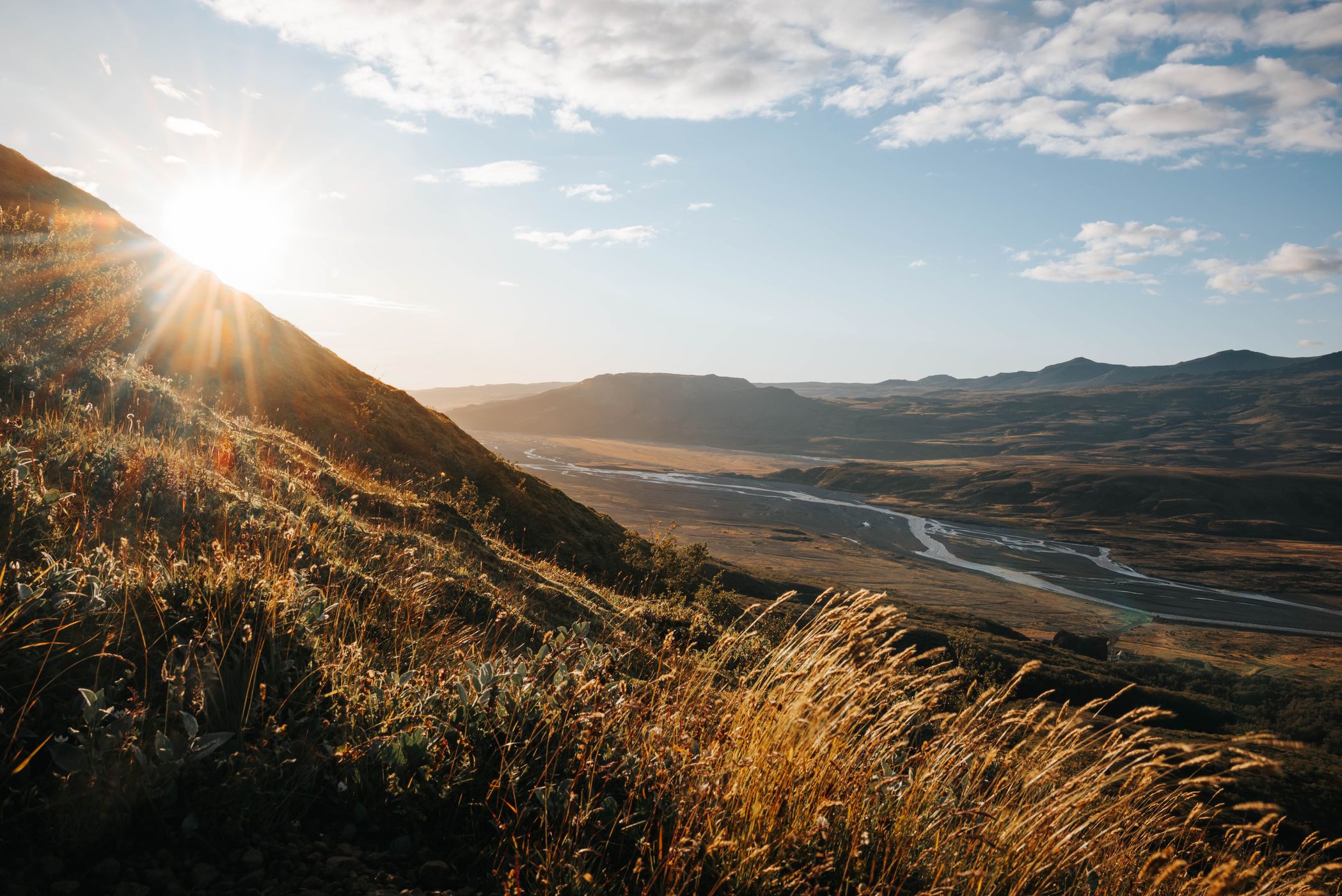
The walk to Valahnúkur offers one of the most rewarding viewpoints in Þórsmörk, with panoramic views across lush green valleys, rugged mountain ridges, glacial rivers and the close by hut. The relatively short but sometimes steep trail leads to a rocky summit where the surrounding highlands reveal their full scale and beauty. On a clear day, you can even spot distant glaciers stretching across the Icelandic landscape.
Photography Tips
Not only shoot the 360 degree view at the viewpoint but try to be awake for new perspectives from the beginning of the trail There are several options.
For more depth, use an interesting foreground element with a wide aperture to create a soft, out-of-focus effect.
No wide-angle lens? Create a manual panorama by taking several overlapping images from left to right, keeping your camera level, then stitch them together in post-processing.
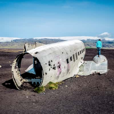
Include a person in the frame to show the true scale of the landscape.
For more depth, use an interesting foreground element with a wide aperture to create a soft, out-of-focus effect.
No wide-angle lens? Create a manual panorama by taking several overlapping images from left to right, keeping your camera level, then stitch them together in post-processing.
Include a person in the frame to show the true scale of the landscape.
Travel Information
The hike to Valahnúkur starts near the hut in Þórsmörk and takes around 30–60 minutes to reach the summit, depending on your pace. The trail is relatively short but steep in places, with a few rocky sections that require sure footing, making it a moderate walk rather than an entirely easy stroll. Follow the marked path uphill, and you’ll be rewarded with breathtaking panoramic views over Þórsmörk’s green valleys, glacial rivers, and surrounding mountains
For the Laugavegur hike, taking a Highland bus to Landmannalaugar is usually the most practical option. The trail is a one-way route of around 55 km, starting in Landmannalaugar and ending in Þórsmörk, so you don't have to worry about getting your car back to the starting point. Several seasonal bus services connect Reykjavík with Landmannalaugar, and buses can also take you back from Þórsmörk after finishing the hike.
For Laugavegur specifically, I’d recommend the bus: because the trail is not a loop, driving there means you would need to arrange transport back to your car in Landmannalaugar. The bus makes the logistics much easier. Get dropped off at the trailhead, hike all the way to Þórsmörk, and take a bus back from the other end.
Please check the booking page https://www.fi.is/en/mountain-huts/camping and reserve your hat or camp-spot with your own tent in advance.
Conditions can be very challenging and different each day. Please be well prepared and check our equipment before.
For the Laugavegur hike, taking a Highland bus to Landmannalaugar is usually the most practical option. The trail is a one-way route of around 55 km, starting in Landmannalaugar and ending in Þórsmörk, so you don't have to worry about getting your car back to the starting point. Several seasonal bus services connect Reykjavík with Landmannalaugar, and buses can also take you back from Þórsmörk after finishing the hike.
For Laugavegur specifically, I’d recommend the bus: because the trail is not a loop, driving there means you would need to arrange transport back to your car in Landmannalaugar. The bus makes the logistics much easier. Get dropped off at the trailhead, hike all the way to Þórsmörk, and take a bus back from the other end.
Please check the booking page https://www.fi.is/en/mountain-huts/camping and reserve your hat or camp-spot with your own tent in advance.
Conditions can be very challenging and different each day. Please be well prepared and check our equipment before.
Spot Type
Outdoor
Crowd Factor
A decent amount of people
Best Timing
Sunset in summer
Sunrise & Sunset
08:10 - 17:56
| current local time: 12:20
Photo Themes
Hike
Hiking
Hiking Trail
Landscape
Mountain
Mountain Panorama
Mountain Range
Mountain Valley
Mountain View





Spot comments (0)