1260 photos in 471 spots
- Show
- all photos
- only best photo/spot
- Order by
- Popularity
- Newest
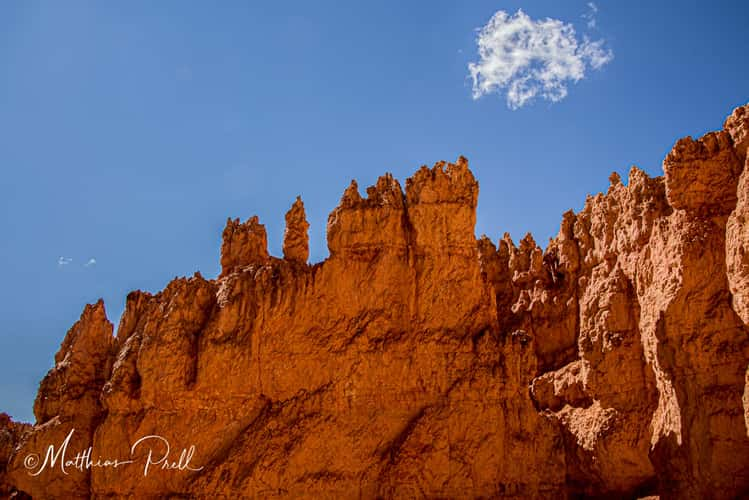
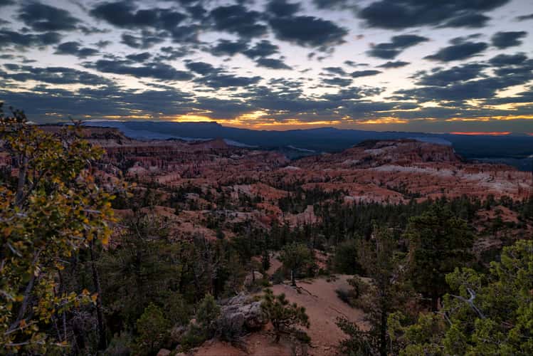
Felsformation im Bryce Canyon
133.86 km to location
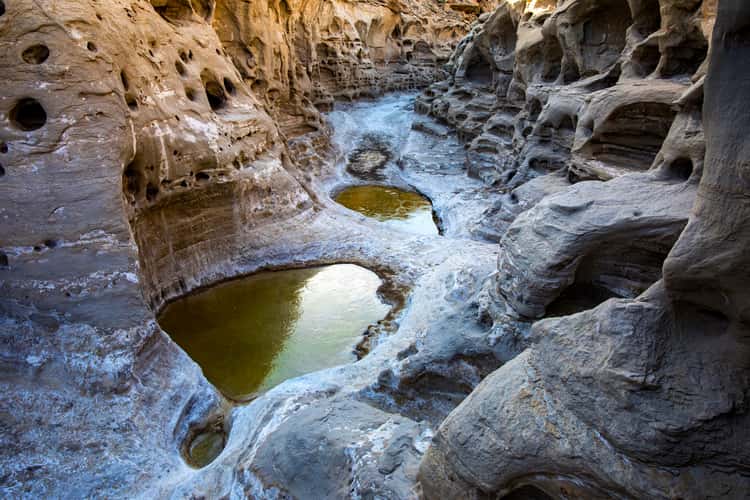
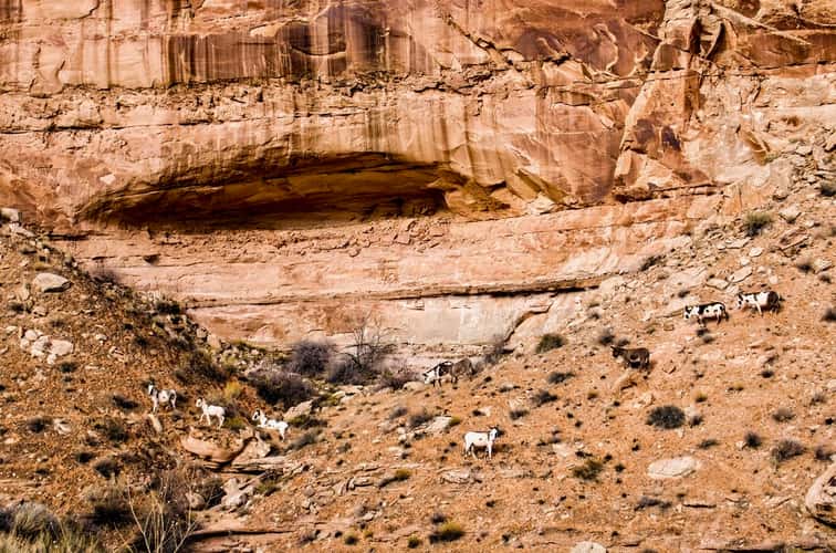
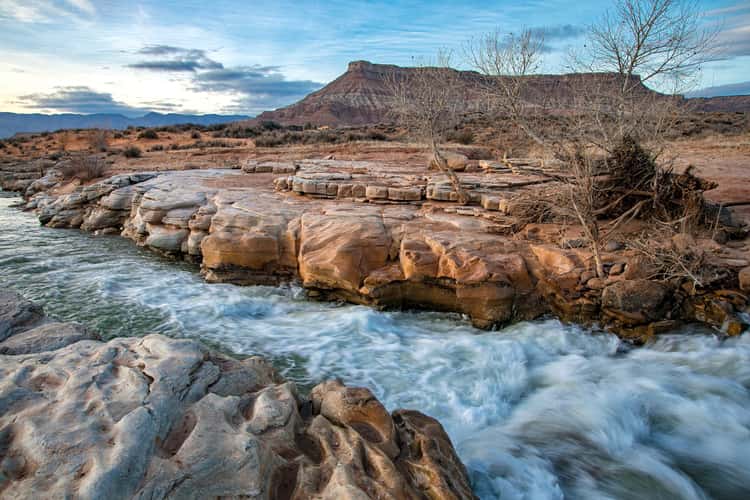
Neilson Wash
115.06 km to location
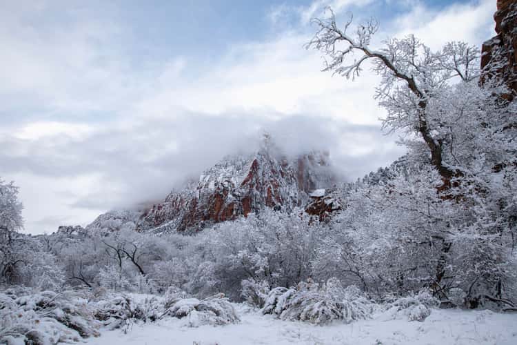
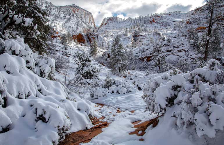
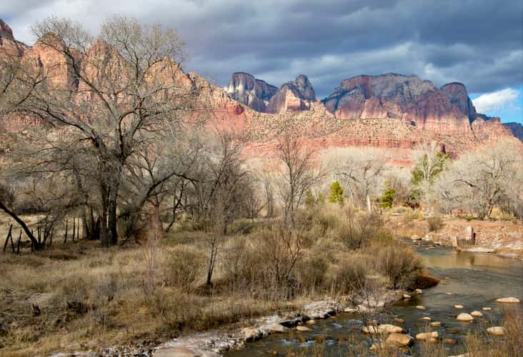
Zion Canyon
191.94 km to location
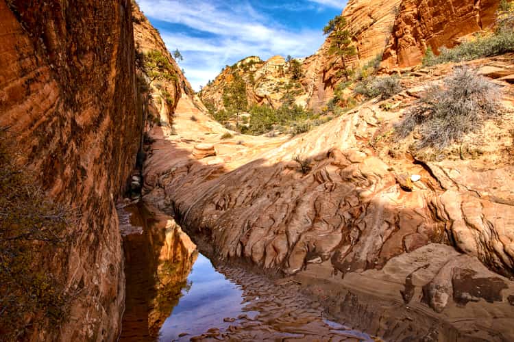
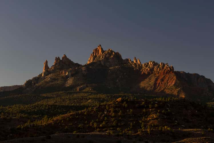
Canyon in Zion’s East Side
192.06 km to location
Horseshoe Canyon
168.86 km to location

Tree Scout Lookout, Zion National Park, Utah
188.18 km to location
East Zion Pullout
192.01 km to location
View of Falls Park
205.7 km to location
View of Falls Park
205.7 km to location
View of Falls Park
205.7 km to location
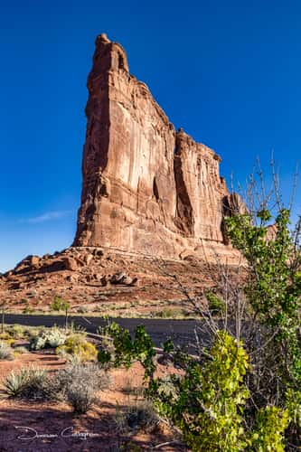
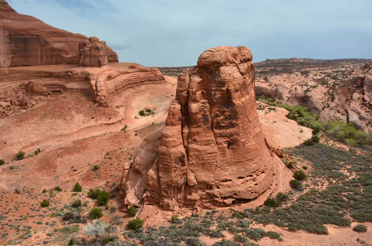
Tower of Babel, Arches Nat Park, Moab, Utah
216.8 km to location
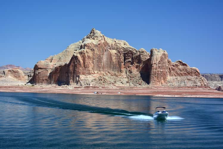
Lake Powel
210.01 km to location
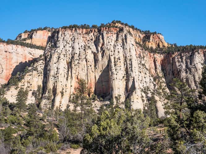
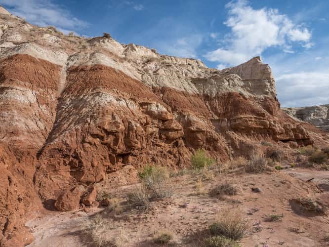
Near Checkerboard Mesa
190.99 km to location
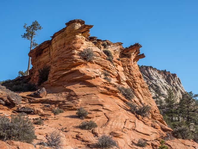
Near Checkerboard Mesa
190.99 km to location
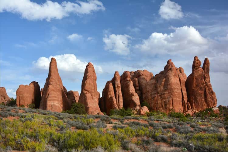
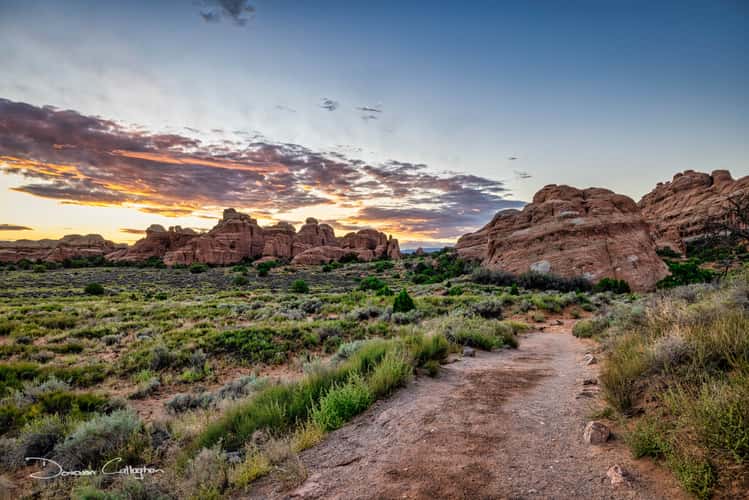
Devil`s Garden - Archs
216.46 km to location
From Upper Delicate Arch Viewpoint
224.82 km to location

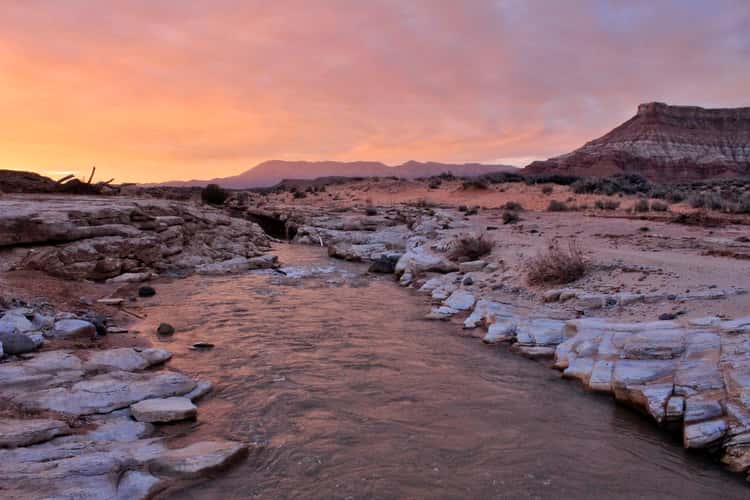
Somewhere in Utah
204.39 km to location
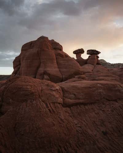
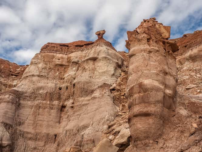
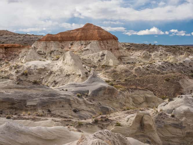
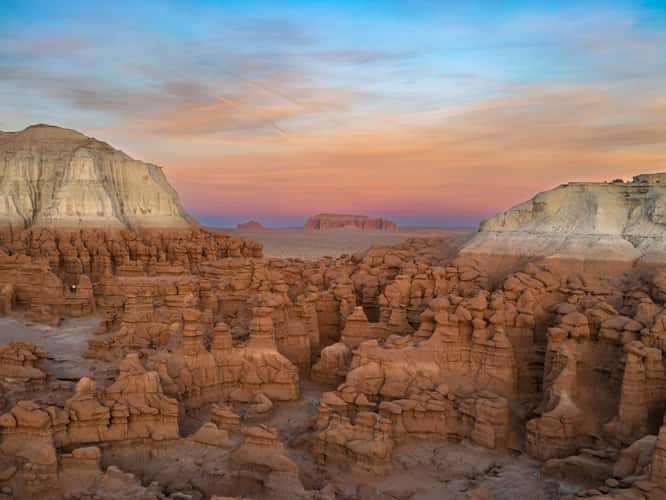
The Toadstool Hoodoos
192.09 km to location
The Toadstool Hoodoos
192.09 km to location
The Toadstool Hoodoos
192.09 km to location
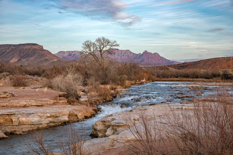
George Barker River Park
199.76 km to location
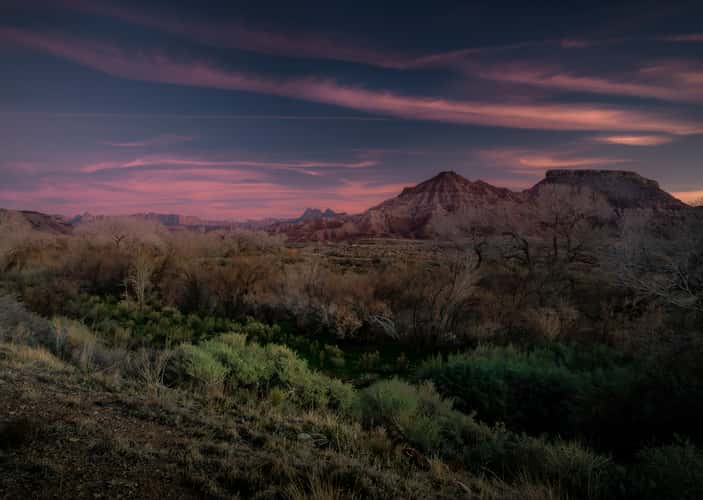
Sunrise western Springdale, Zion National Park, Utah
201.44 km to location
Zion National Park
204.39 km to location
Tunnel Arch Trail, Arches National Park, Moab, Utah
216.14 km to location
Kolob Terrace Rd, Zion National Park, Utah
190.46 km to location
Toadstool Hoodoos
192.03 km to location
Rim Trail Sunrise Point Trailhead, Bryce Canyon, Utah
133.16 km to location

Salt Lake City valley via Bonneville Shoreline Trail
219.37 km to location
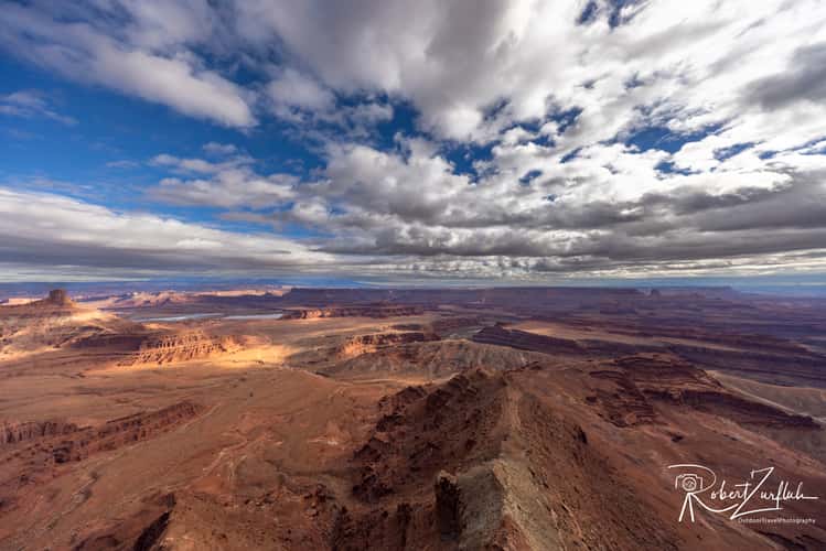
Dead Horse Point
208.08 km to location
Goblin Valley by drone
123.98 km to location