1260 photos in 471 spots
- Show
- all photos
- only best photo/spot
- Order by
- Popularity
- Newest
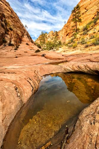
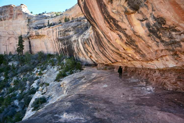
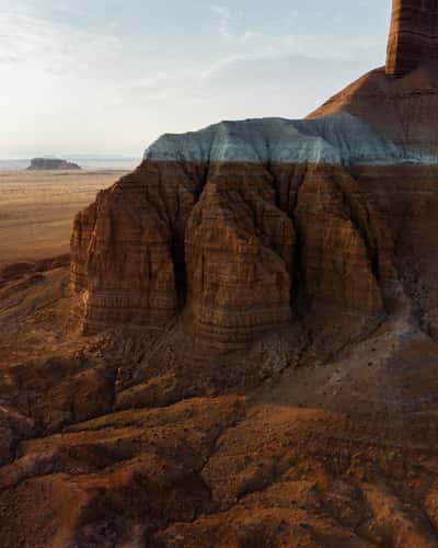
Canyon in Zion’s East Side
192.06 km to location
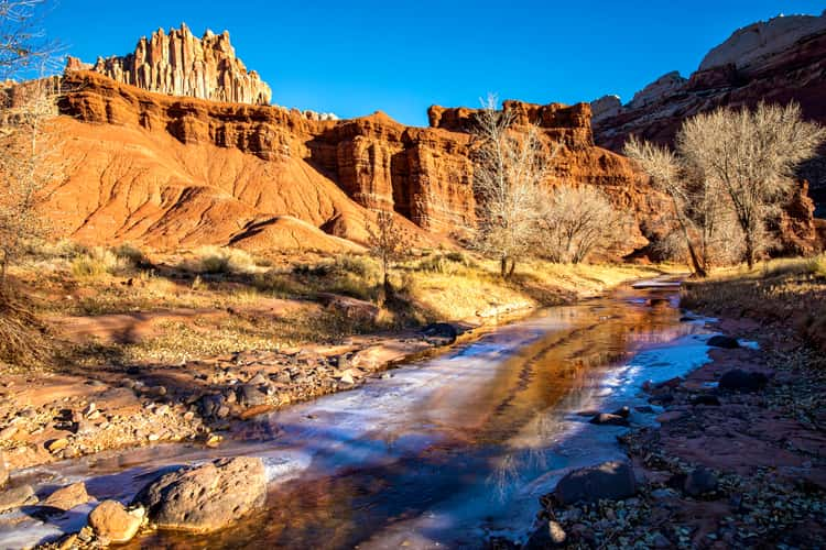
Sulphur Creek
93.45 km to location
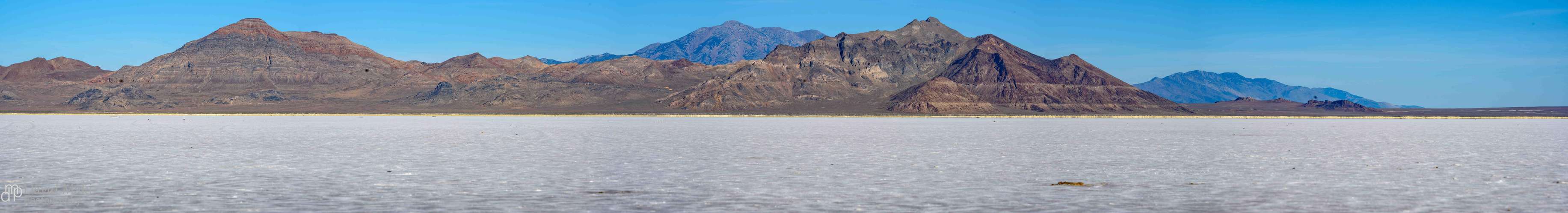
Bonneville Salt Flats
262.77 km to location
View of Falls Park
205.7 km to location
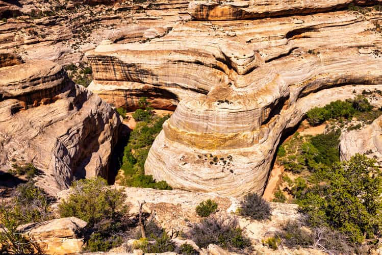
Natural Bridges National Monument
226.13 km to location
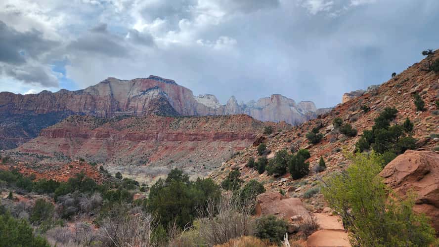
Zion National Park
196.67 km to location
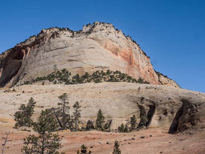
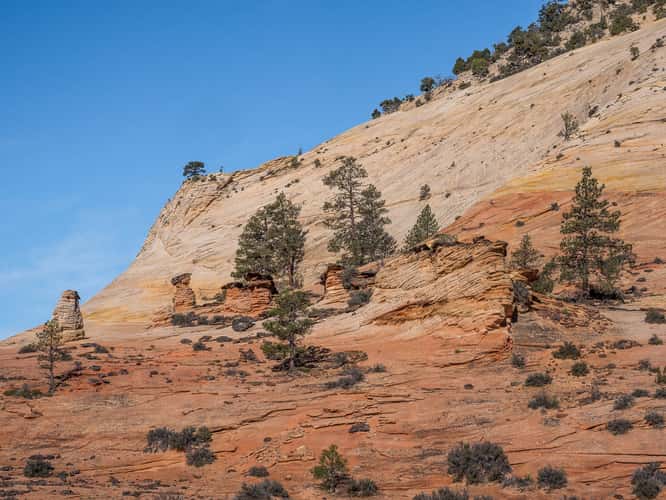
Near Checkerboard Mesa
190.99 km to location
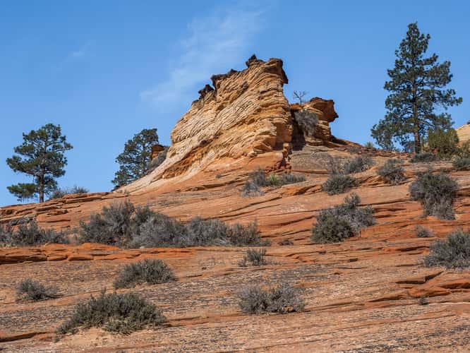
Near Checkerboard Mesa
190.99 km to location
Near Checkerboard Mesa
190.99 km to location
Near Checkerboard Mesa
190.99 km to location

Chachina Bridge, Natural Bridge National Monument, Utah
226.03 km to location
Garden of Eden (East View)
220.94 km to location
Archs National Park
215.91 km to location
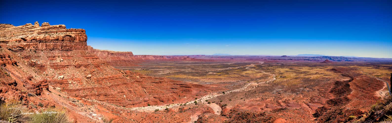
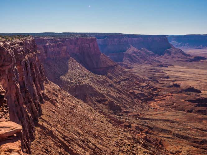
Moki Dugway,, Mexian Hat, Utah
265.77 km to location
Sipapu Bridge View, Natural Bridge National Monument, Utah
226.73 km to location
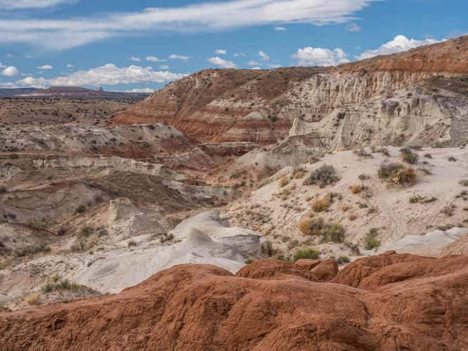
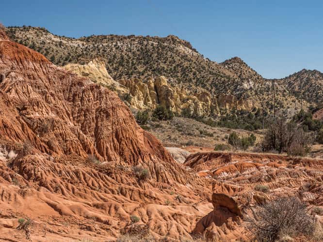
The Toadstool Hoodoos
192.09 km to location
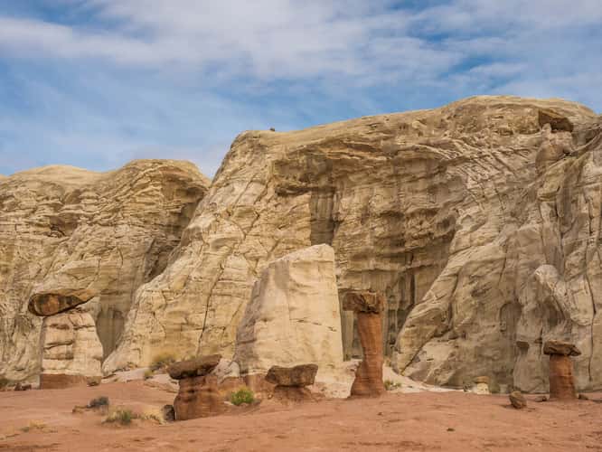
The Toadstool Hoodoos
192.09 km to location
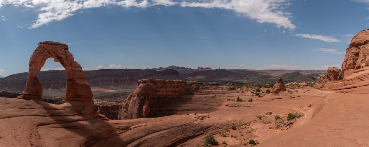
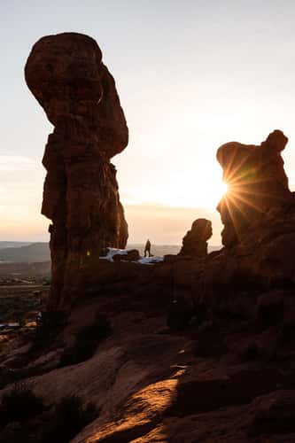
Delicate Arch
224.8 km to location
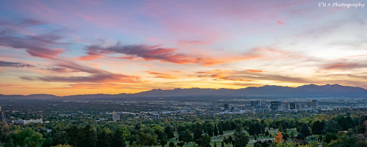
Salt Lake City (view from Chandler Dr.)
218.04 km to location
Cottonwood canyon road
148.48 km to location
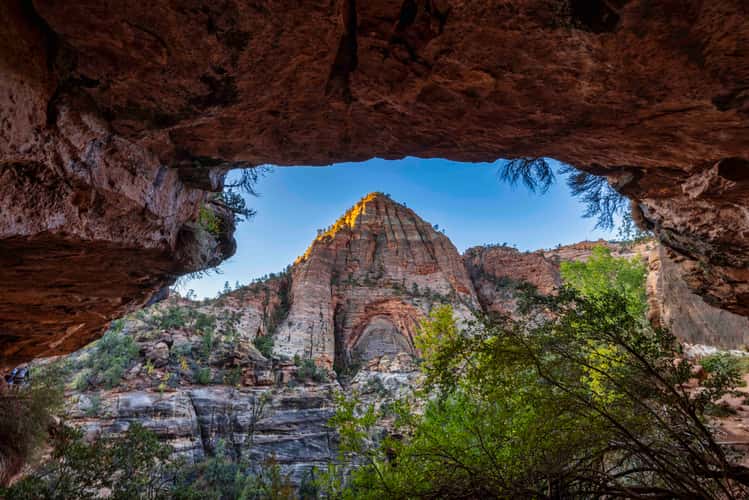
Pathway Zion overlook, Zion National Park, Utah
195.36 km to location
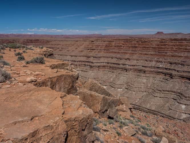
San Juan River Goosenecks, Utah
263.99 km to location
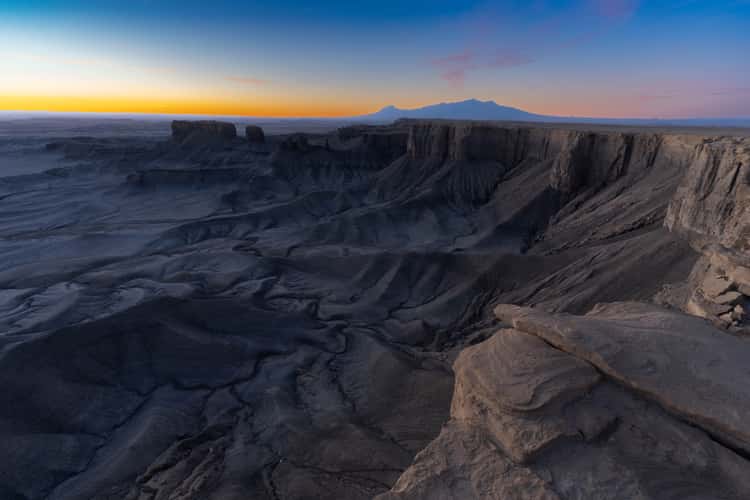
Moonscape Overlook
116.6 km to location
Toadstools
192.04 km to location

North Caineville Mesa
114.25 km to location
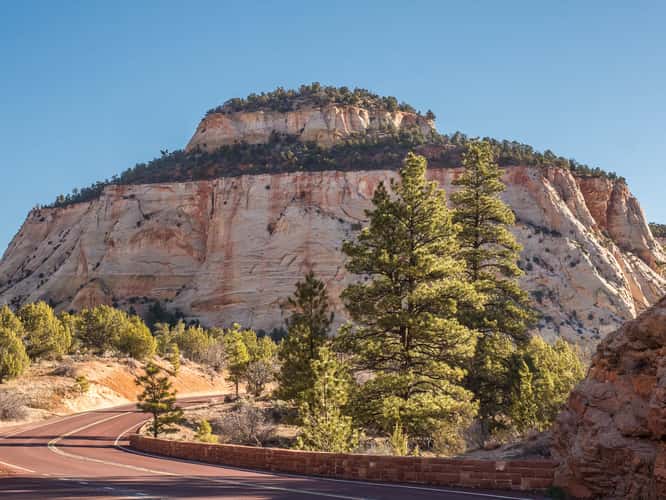
Zion Mount Carmel Highway
194.68 km to location
Wild Horse Butte
122.06 km to location
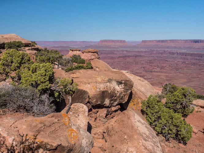
Needles Overlook
217.49 km to location
Needles Overlook
217.49 km to location
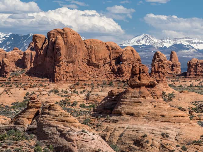
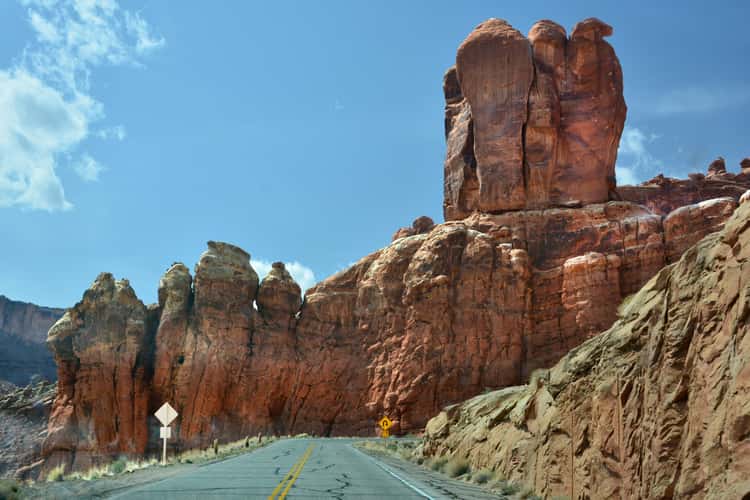
The Windows Section in Arches NP
220.61 km to location