1223 photos in 313 spots
- Show
- all photos
- only best photo/spot
- Order by
- Popularity
- Newest
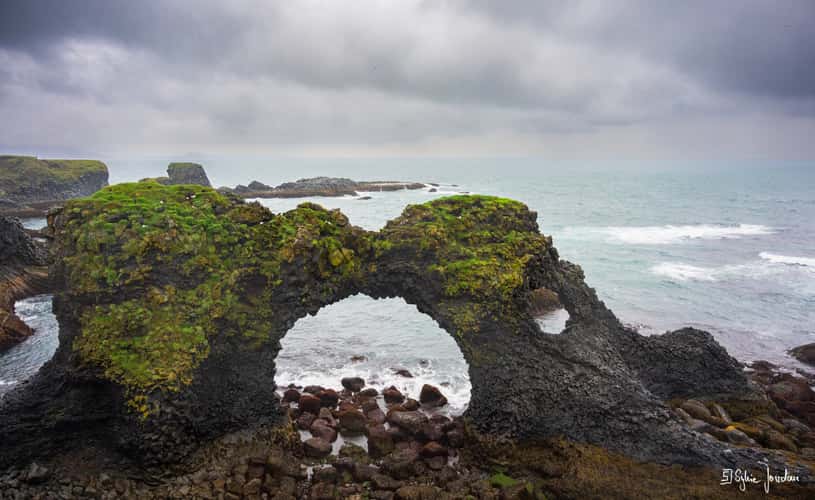
Gatklettur Stone Arch, Arnarstapi
241.07 km to location
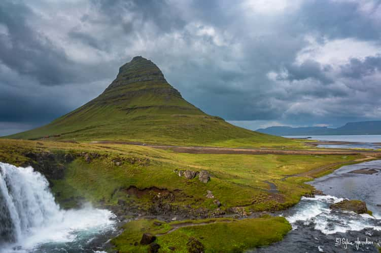
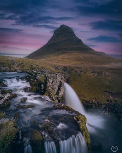
Kirkjufell Waterfall with Kirkjufell
236.89 km to location
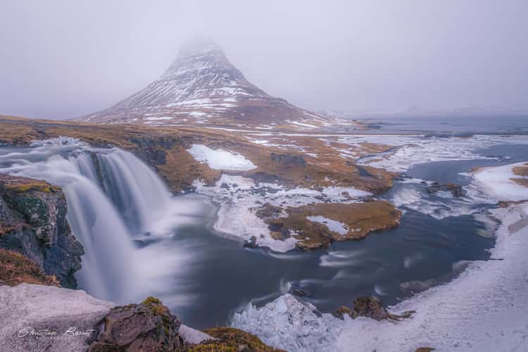
Kirkjufell Waterfall with Kirkjufell
236.89 km to location
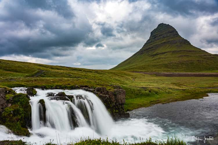
Kirkjufell Waterfall with Kirkjufell
236.89 km to location
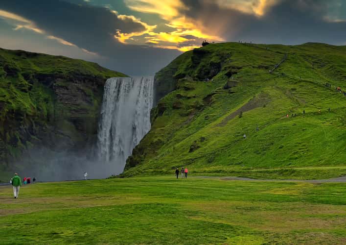
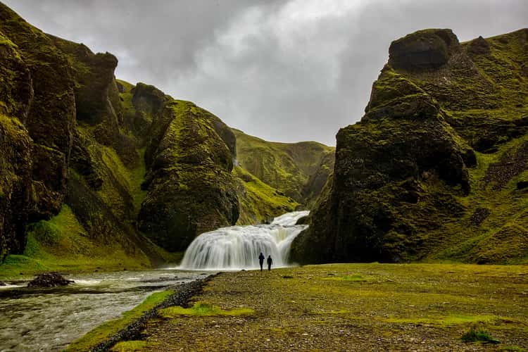
Skógafoss Waterfall
27.15 km to location
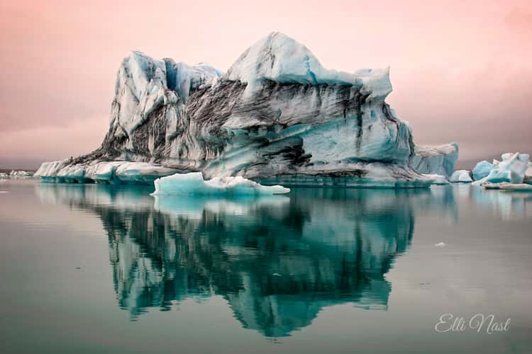
Jökulsárlón Glacier Lagoon
152.51 km to location
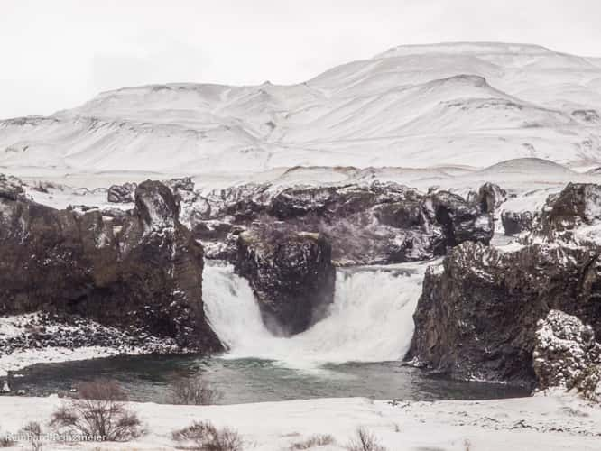
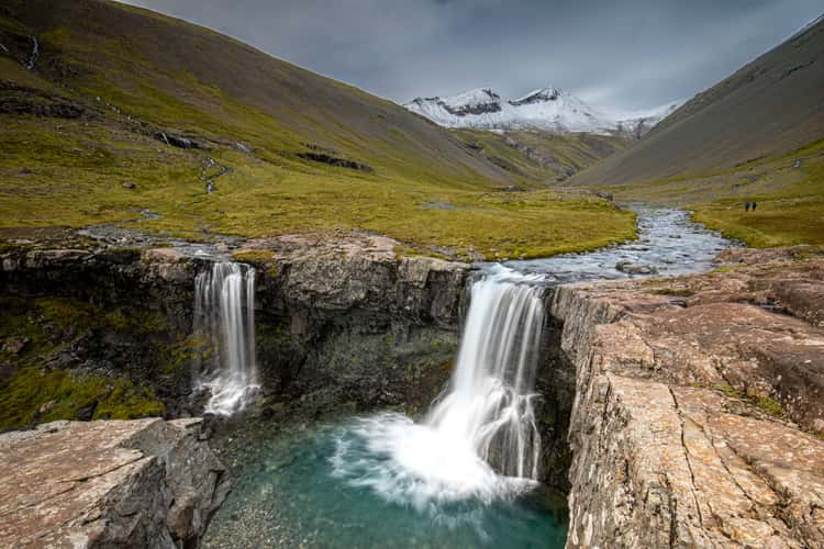
Hjálparfoss
51.86 km to location
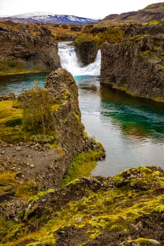
Hjálparfoss
51.86 km to location
Kirkjufell Waterfall with Kirkjufell
236.89 km to location
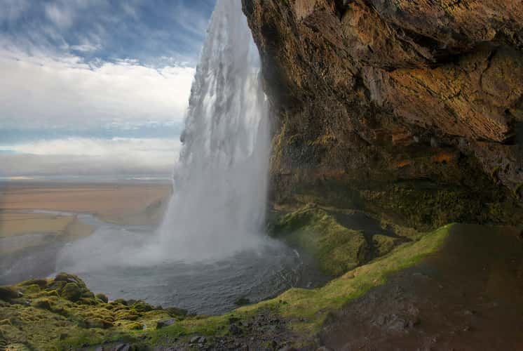
Seljalandsfoss
40.31 km to location
Stjórnarfoss
57.38 km to location
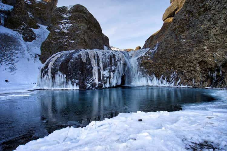
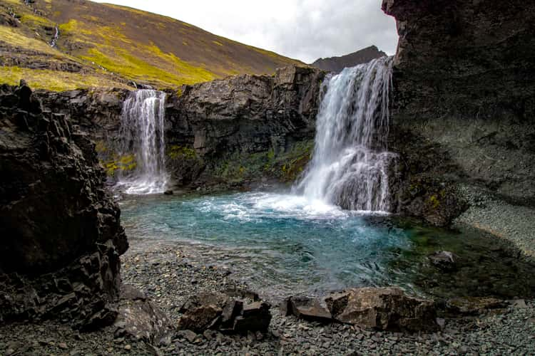
Skútafoss
218.66 km to location
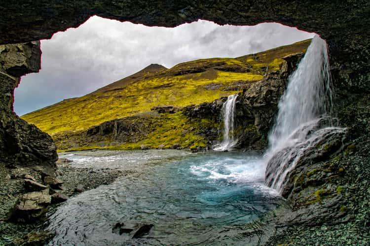
Skútafoss
218.66 km to location
Skútafoss
218.66 km to location
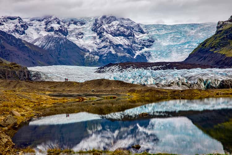
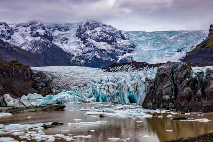
Svínafellsjökull Glacier Lagoon
118.12 km to location
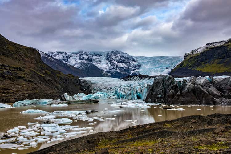
Svínafellsjökull Glacier Lagoon
118.12 km to location
Svínafellsjökull Glacier Lagoon
118.12 km to location
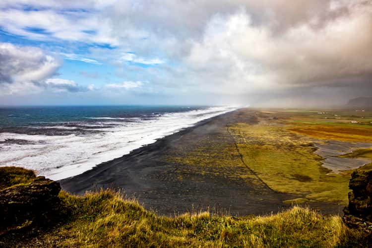
The Endless Black Beach from Dyrhólaey Viewpoint
37.73 km to location
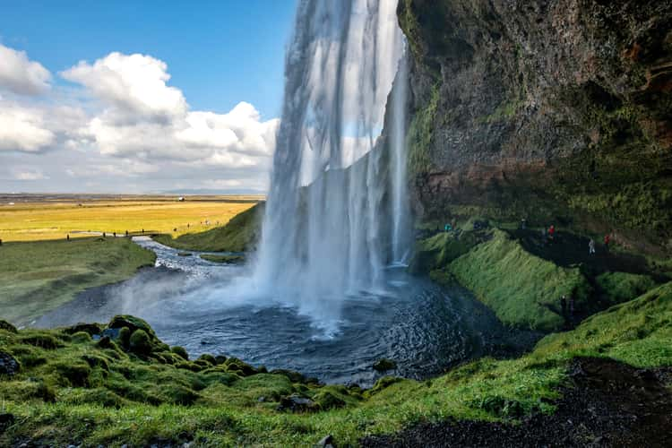
Seljalandsfoss
40.31 km to location
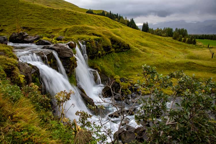
Gluggafoss
33.09 km to location
Gluggafoss
33.09 km to location
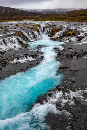
Bruarfoss Waterfall
85.87 km to location

Bruarfoss Waterfall
85.87 km to location
Stjórnarfoss
57.38 km to location
Skútafoss
218.66 km to location
Skútafoss
218.66 km to location
Kirkjufell Waterfall with Kirkjufell
236.89 km to location
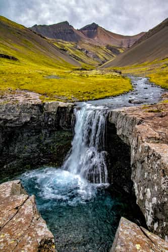
Kæfufoss
24.1 km to location
Vestrahorn mirror beach
214.54 km to location
Vestrahorn mirror beach
214.54 km to location