91 photos in 91 spots
- Show
- all photos
- only best photo/spot
- Order by
- Popularity
- Newest
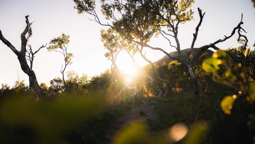
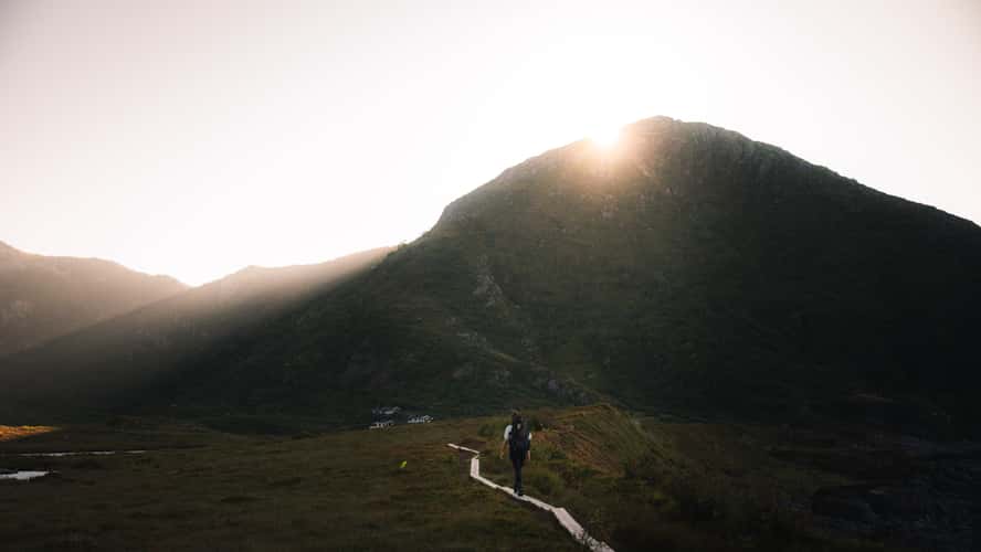
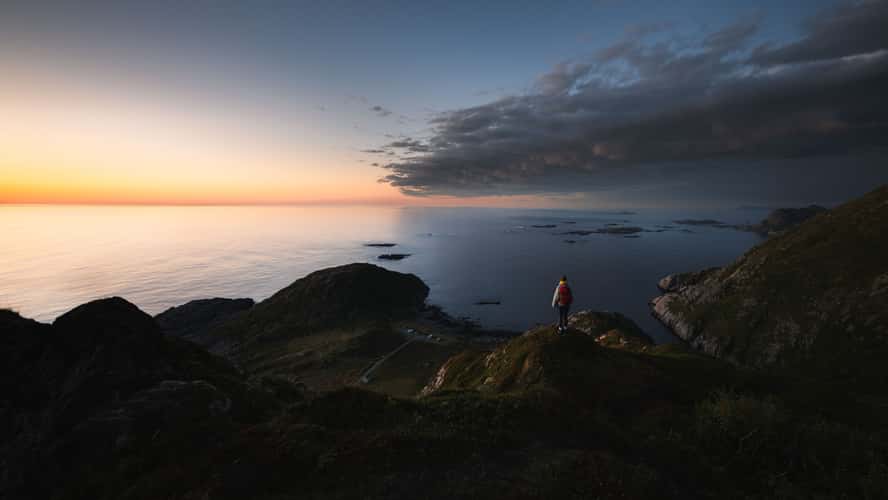
Forest, Måtind Hike
12.67 km to location
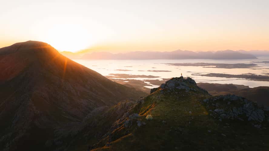
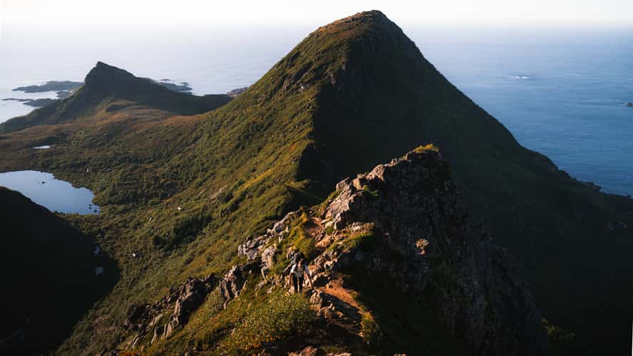
Finngamheia Edge
56.62 km to location

Dronningruta Winding Streets
53.55 km to location
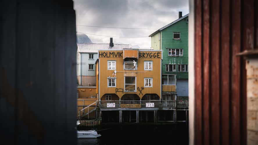
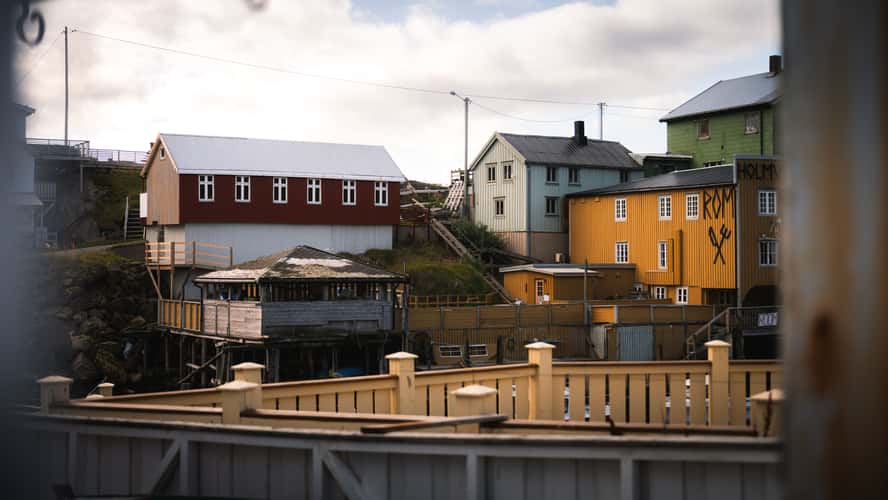
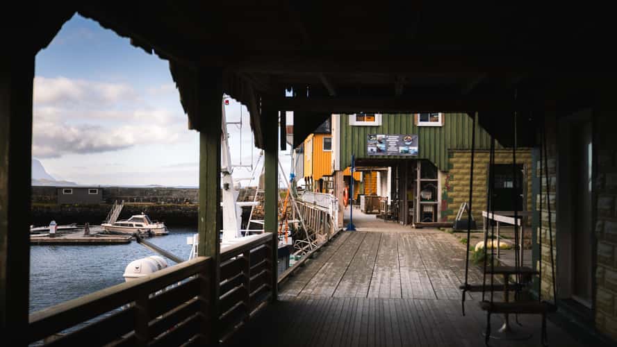
Nyksund Towards Holmvik Brygge
57.28 km to location
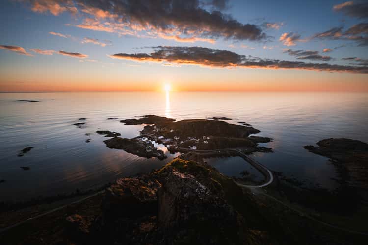
Nyken, View to Nyksund
56.99 km to location
Wooden Path Dronningruta
55.3 km to location
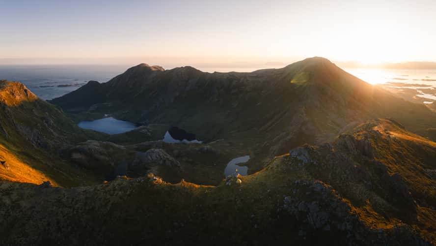
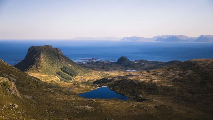
Dronningruta Valley
56.53 km to location
Finngamheia Camping
56.58 km to location
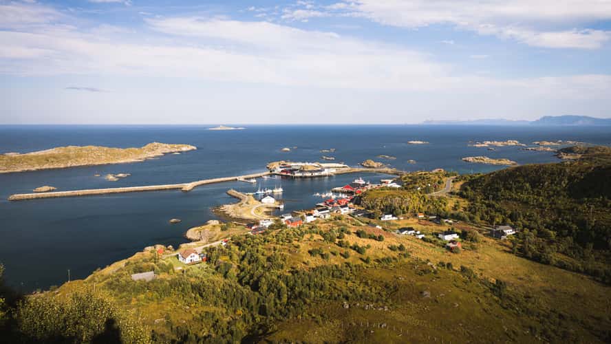
Nyksund Entry Point
57.24 km to location
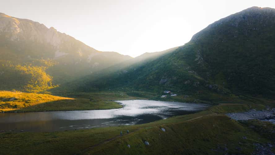
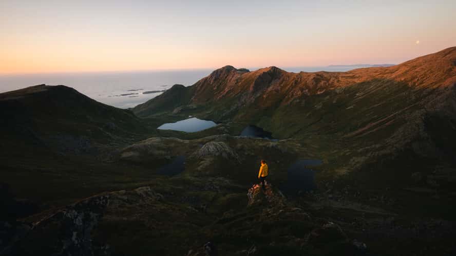
Lakes at Dronningruta
55.38 km to location
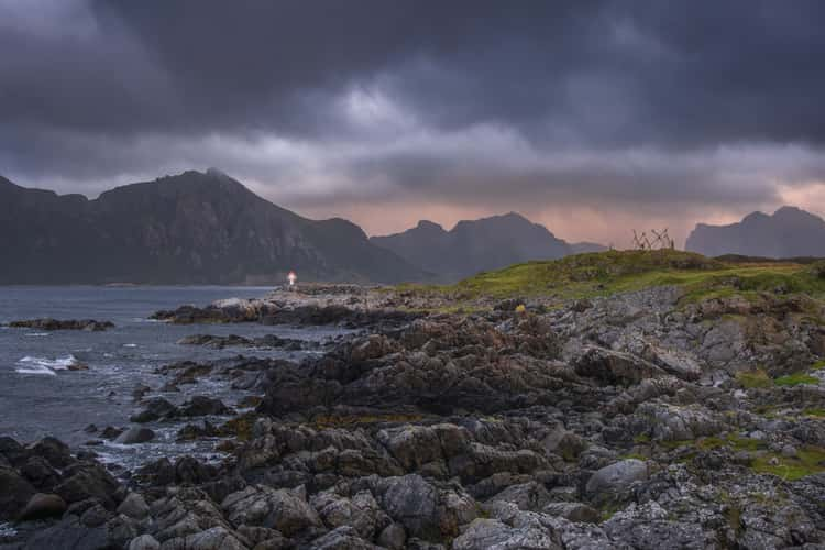
Nyksund Lighthouse
57.2 km to location
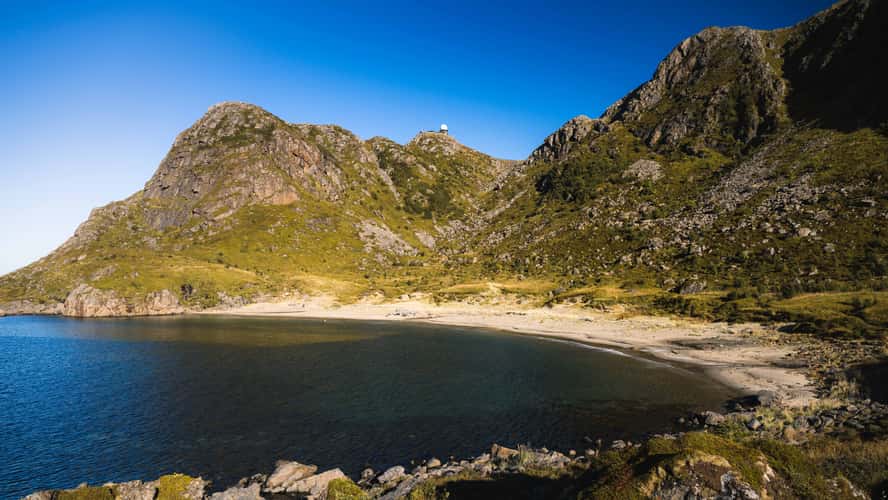
Hovden Coastline and Lighthouse
84.2 km to location
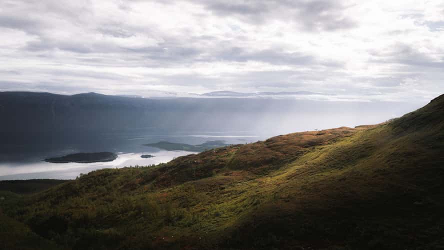
Lyngenfjord South
160.62 km to location
Stø Village
52.64 km to location
Shorelines Dronningruta
53.89 km to location
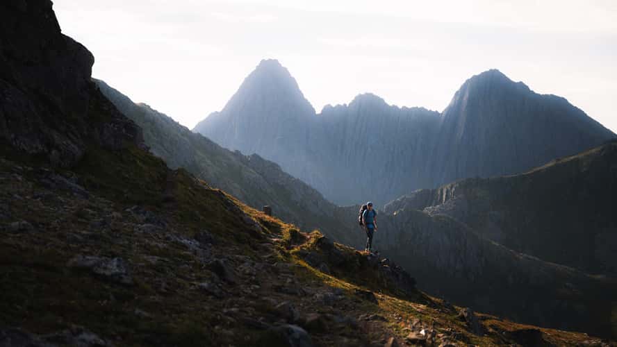
Dronningruta Hiking Trail
54.94 km to location
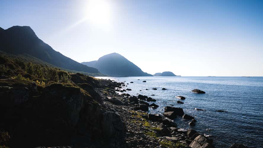
Skipssand, Dronningruta
53.57 km to location
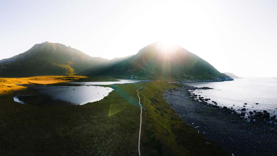
Wooden Path at Dronningruta
55.41 km to location
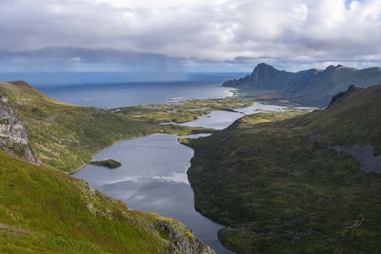
Kjølvatnet
54.51 km to location
Skipssand from Dronningruta
53.06 km to location
Dronningruta, Mountain section
56.26 km to location
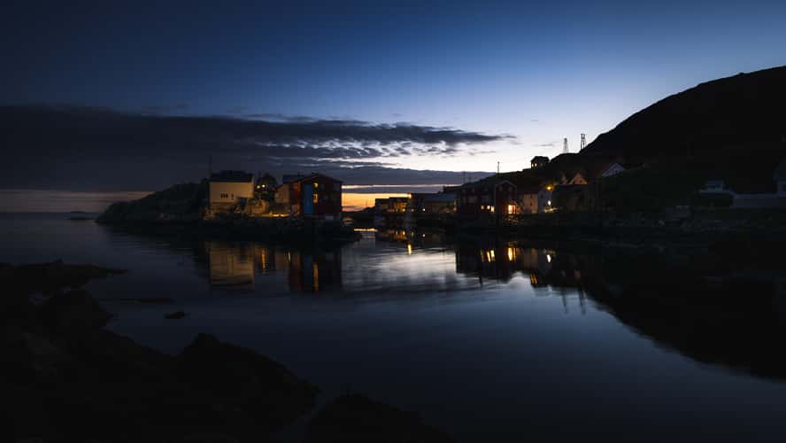
Nyksund Harbor Entry
57.17 km to location
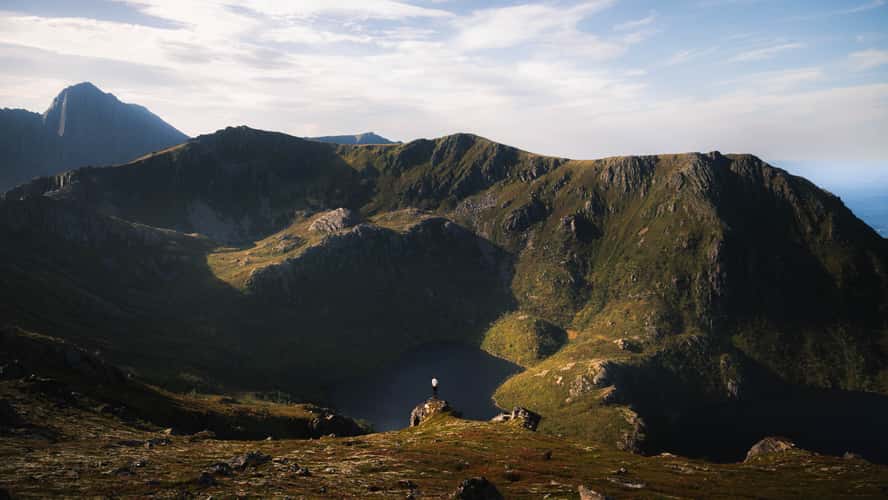
Lakes at Dronningruta
55.2 km to location
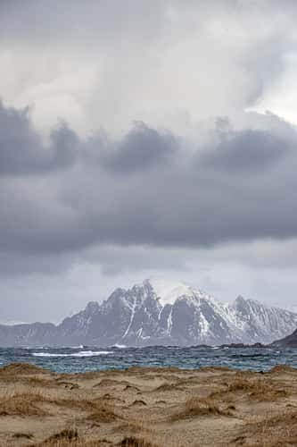
Hovden view
84.66 km to location
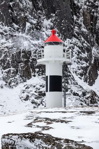
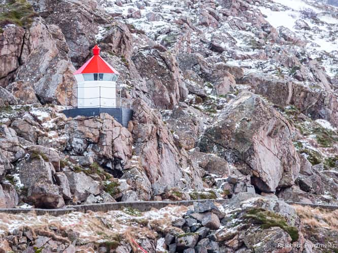
Børhella Lighthouse
33.22 km to location
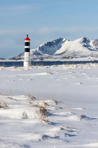
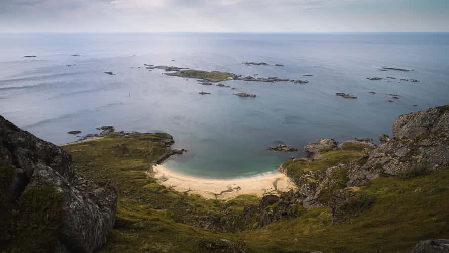
Lighthouse at Hvit strand
55.47 km to location
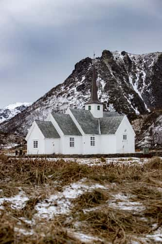
Langenes Kirke
51.24 km to location
Panoramic view towards bleik
13.37 km to location
Nyksund Harbour Walk
57.36 km to location
Nyken Hike
56.82 km to location