
Norway Volandstiden
On the way to the summit there are already very beautiful views. once you reach the top, the view is of course even more beautiful.
Photography Tips
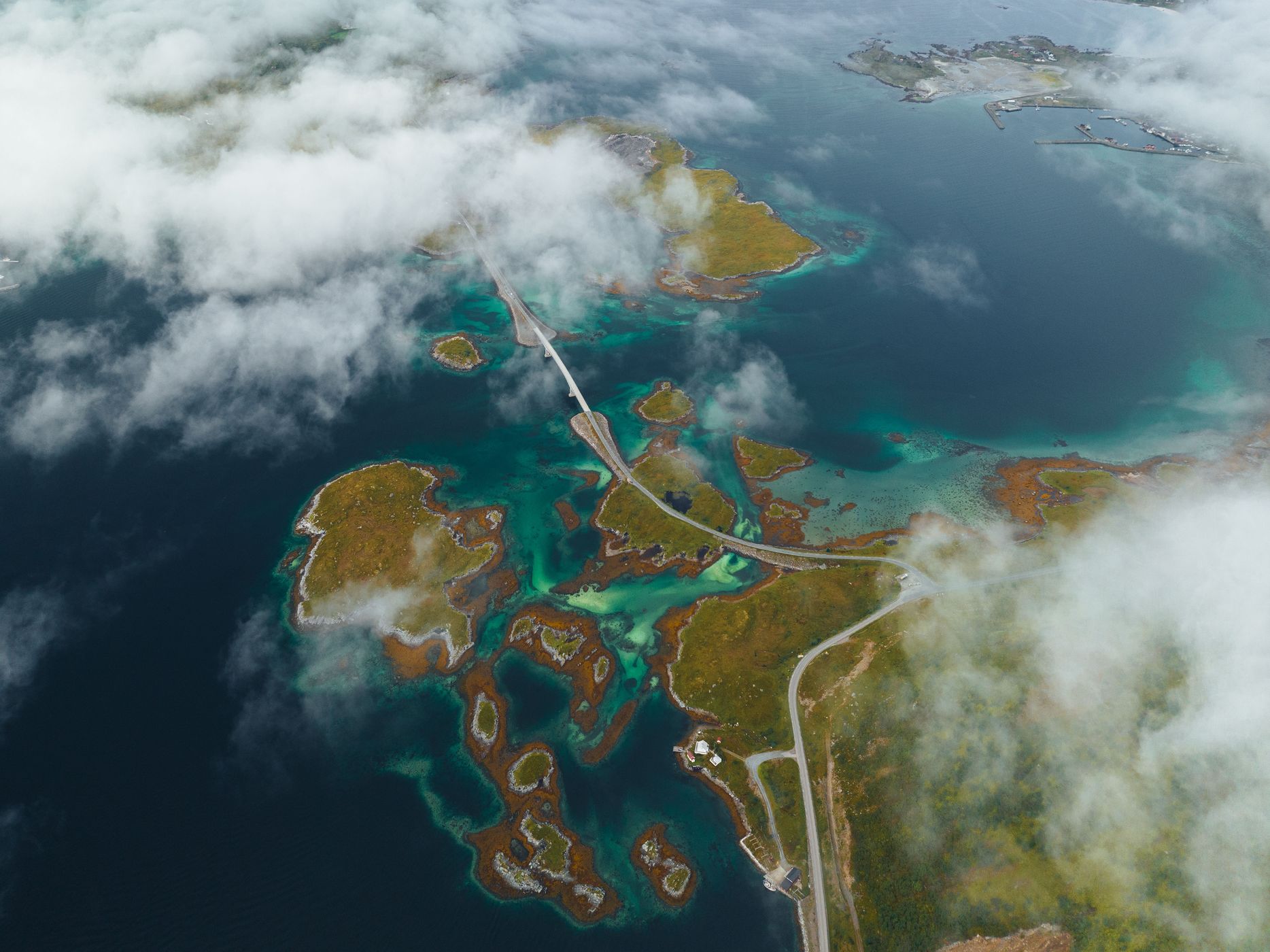
With the drone you get a slightly different perspective at the top of the summit.
Travel Information
The trail begins in Skjelford, a few kilometres west from Ramberg. From the E10, turn south into Skjelfjord. As you approach the village, there will be an orange building on the right, with cod racks on the opposite side. P
Spot Type
Drone
Crowd Factor
No info yet
Best Timing
All timings are equally good
Sunrise & Sunset
01:52 - 00:34
| current local time: 09:22
Photo Themes
aerial
Hike
Locations
Lofoten
Volandstiden


Spot comments (0)