

USA South Falls
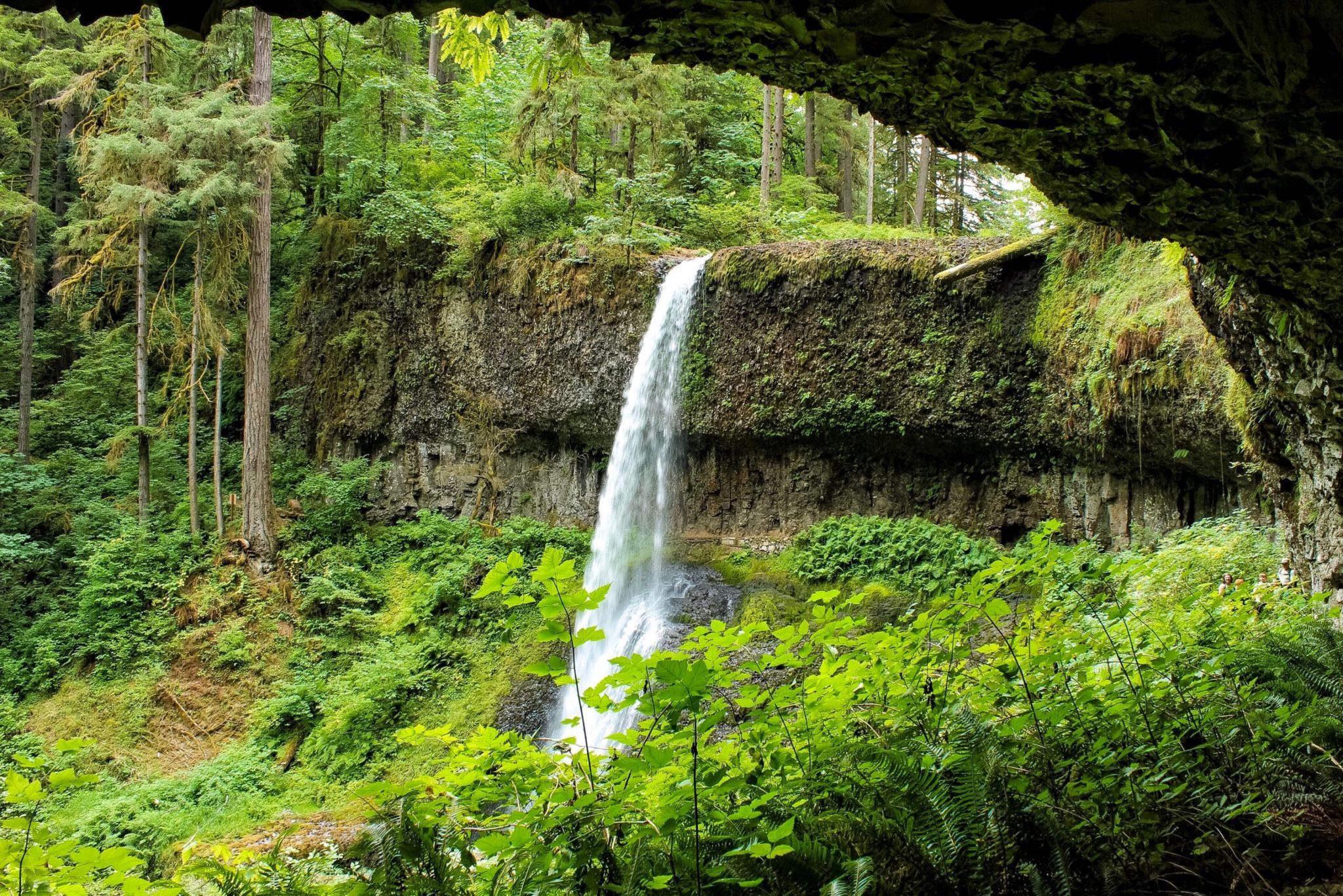
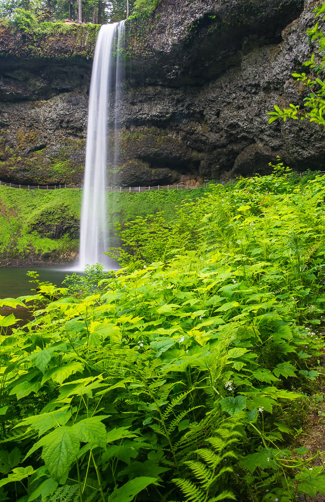
South Falls is the tallest waterfall in Silver Falls State Park, dropping 177 feet off a basalt shelf. It can be visited (along with nine other waterfalls) on the park’s Trail of Ten Falls Loop great loop. If this 7.9-mile loop is too much, a 1.1-mile lollipop loop can be hiked to visit South Falls on its own. The short hike has 200 feet of elevation change.
Photography Tips
Be prepared for spray from the waterfall to saturate you as you pass along the back of the opening behind South Falls.
Travel Information
Start from South Falls Day Use Area, visit a viewpoint at the brink of the falls, make your way behind the waterfall, and/or cross a downstream bridge for great views. OR - A level 0.15 miles of hiking leads to a prominent trail junction at a spot called the Stone Circle. Follow signs for South Falls and turn left. It won’t be too long until you come to another junction where Maple Ridge Trail parts to the right. Stay to the left toward South Falls. The forest opens up as you approach South Falls Viewpoint. Step out on the cliffs alongside South Falls. From there, you are standing beside the brink of South Falls where the peacefully-flowing South Fork of Silver Creek suddenly plunges 177 feet into the canyon below. There is ample parking at the day use area.
Spot Type
Outdoor
Crowd Factor
A decent amount of people
Best Timing
Sunrise in spring or fall
Sunrise & Sunset
05:51 - 20:43
| current local time: 16:17
Photo Themes
Waterfall
Locations
Oregon
Silver Falls Oregon


Spot comments (0)