1260 photos in 471 spots
- Show
- all photos
- only best photo/spot
- Order by
- Popularity
- Newest
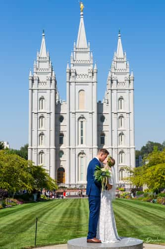
Salt Lake Temple
216.58 km to location
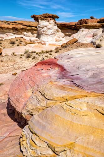
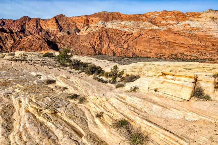
Colorful Canyon
188.47 km to location
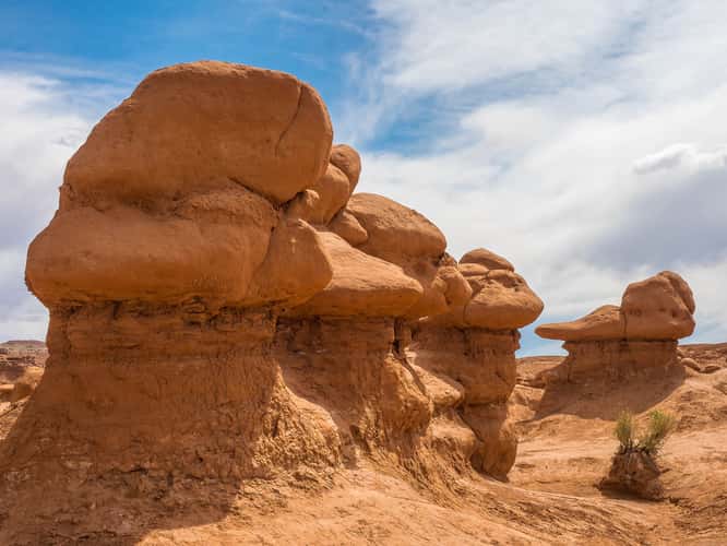
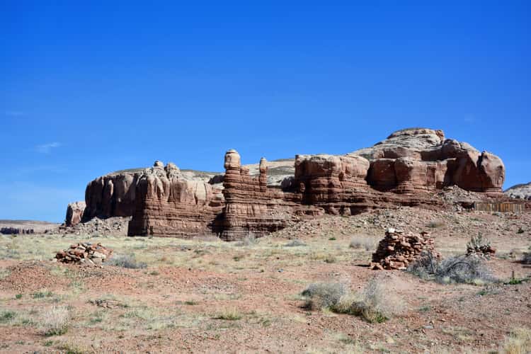
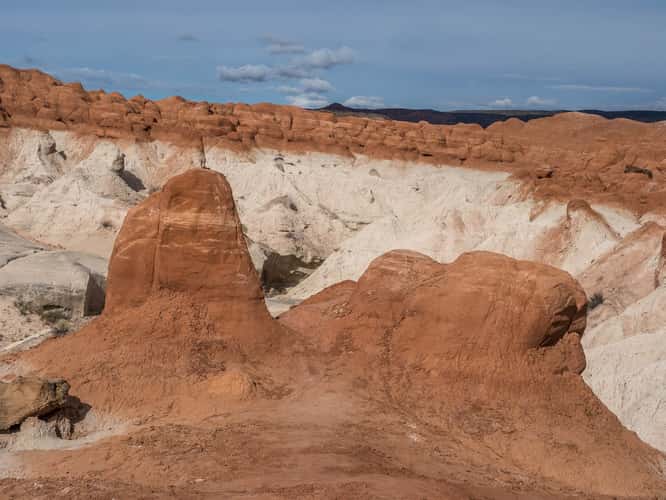
Goblin Valley State Park
123.98 km to location
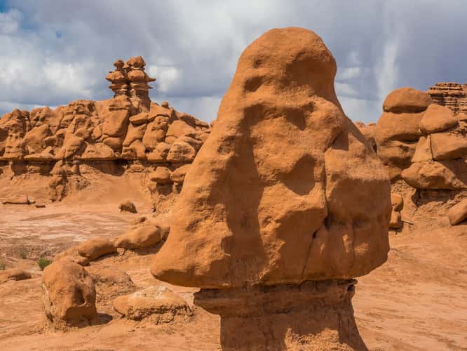
Goblin Valley State Park
123.98 km to location

Mexican Hat Rock
268.44 km to location
Petroglyph Canyon
191.56 km to location
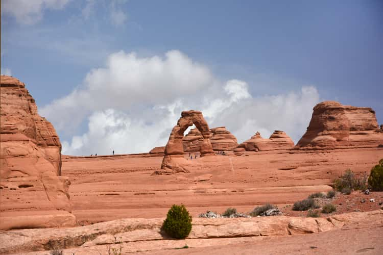
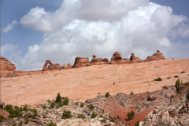
Upper Delicate Arch Viewpoint
224.69 km to location
Checkerboard Mesa
191.33 km to location
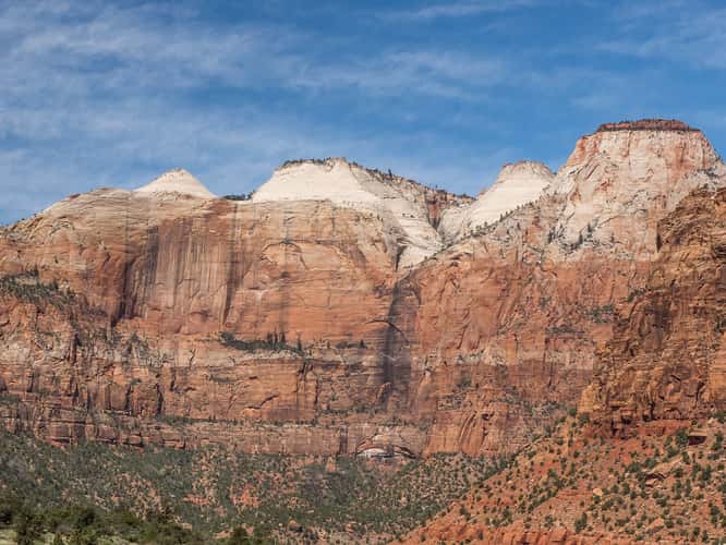
Zion Canyon
192.08 km to location
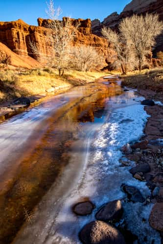
Sulphur Creek
93.45 km to location
Locomotive Point
114.35 km to location
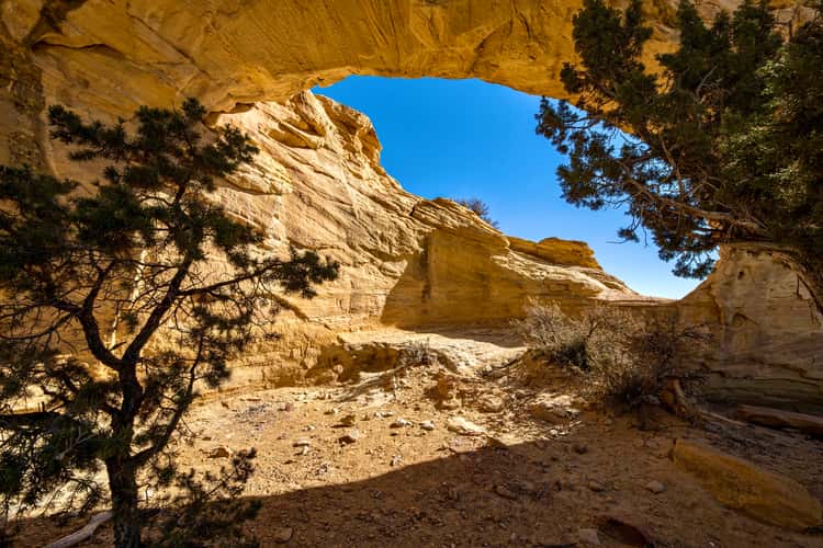
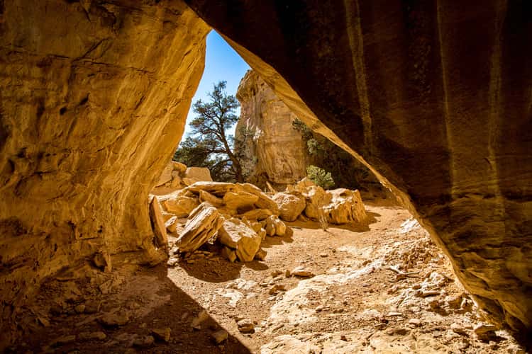
Dutchman’s Arch
113.01 km to location
Loop Road
244.22 km to location
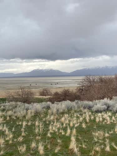
Antelope Island
239.5 km to location

Twin Rocks
280.89 km to location
Rock Formation at Bluff
280.26 km to location
Lower Delicate Arch Viewpoint
224.78 km to location
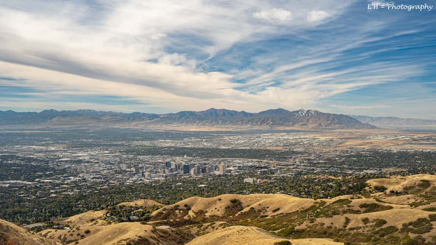
Views from Twin Peaks, SLC Tomahawk Natural Area
219.66 km to location
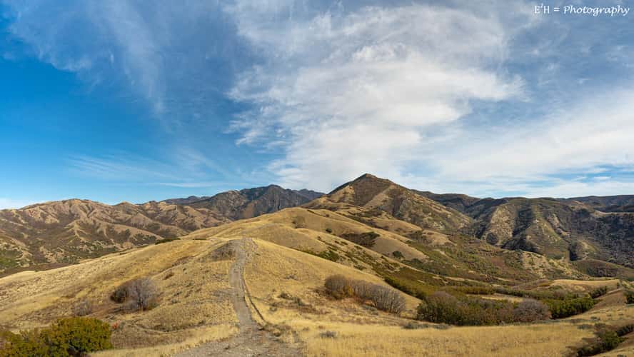
Views from Twin Peaks, SLC Tomahawk Natural Area
219.66 km to location
Snow Canyon
224.35 km to location

Cottonwood canyon road
148.48 km to location
Cottonwood canyon road
148.48 km to location
Toadstool Hoodoos
192.03 km to location
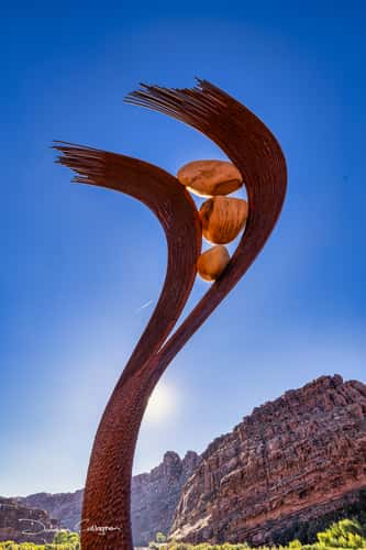
Sculpture, Bridge, Moab, Utah
219.71 km to location
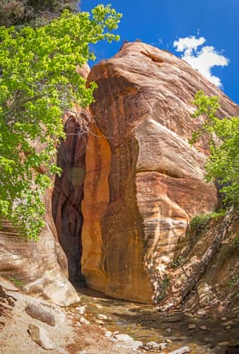
Entrance to the Kanarra Falls
170.63 km to location
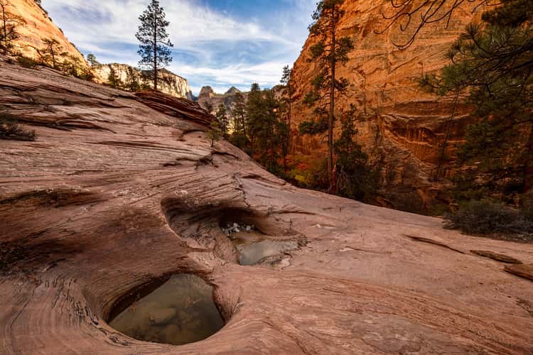
Zion Mount Carmel Highway
194.68 km to location
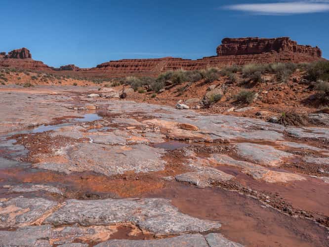
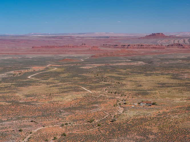
Valley of the Gods
264.18 km to location
Moki Dugway,, Mexian Hat, Utah
265.77 km to location
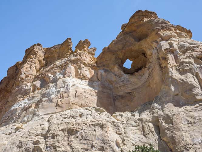
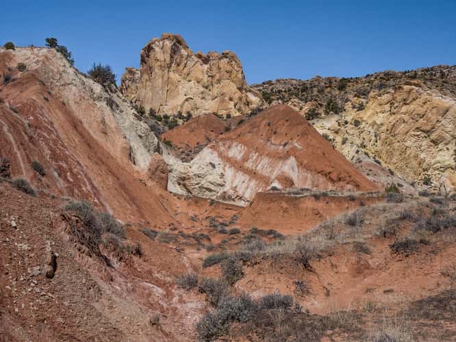
Grosvenor Arch
154.08 km to location
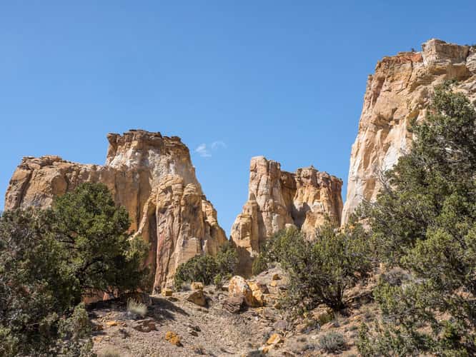
Grosvenor Arch
154.08 km to location