68 photos in 37 spots
- Show
- all photos
- only best photo/spot
- Order by
- Popularity
- Newest
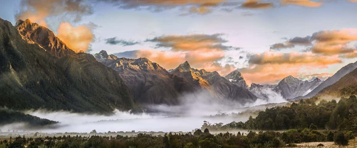
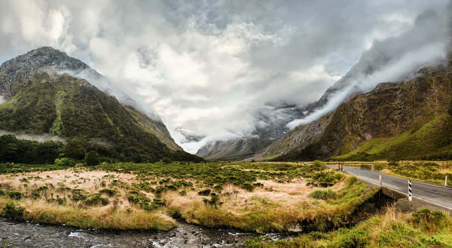
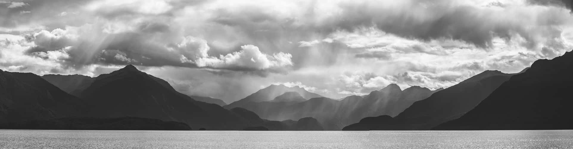
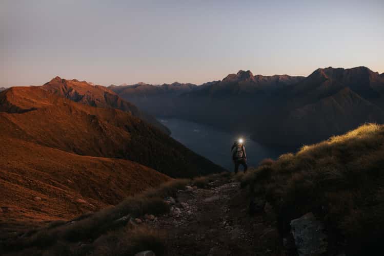
Fjordland Mornings
86.14 km to location
Homer Tunnel (Milford Sound Hwy)
102.63 km to location
Lake Te Anau
53.81 km to location
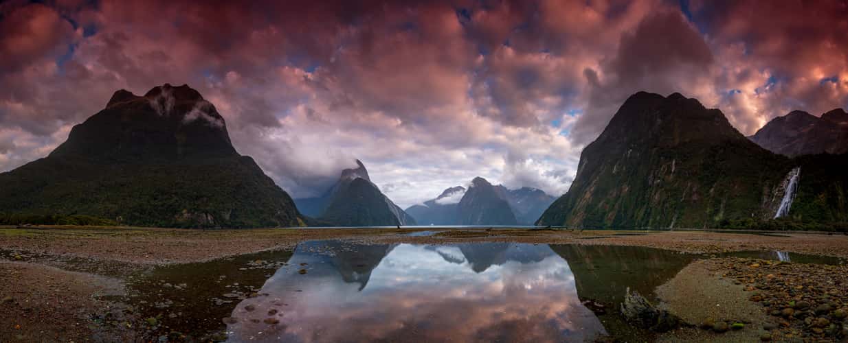
Milford Sound, South Island
107.58 km to location
View from the Tutoko Bridge
109.1 km to location
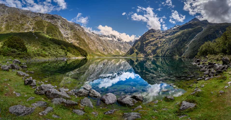
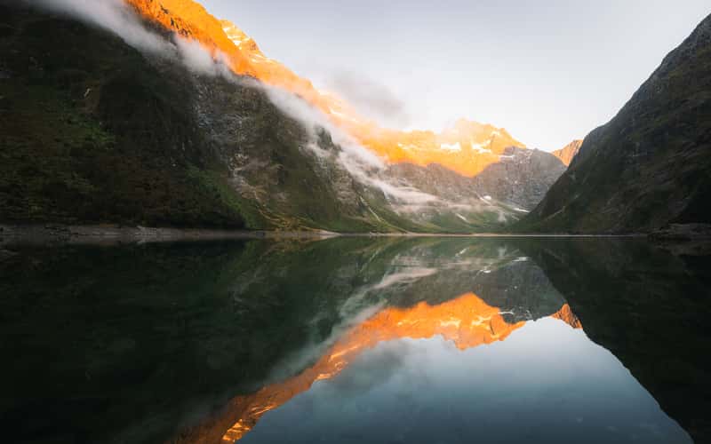
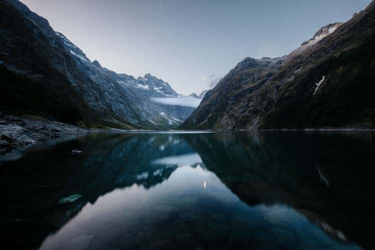
Lake Marian, Fiordland National Park
107.15 km to location
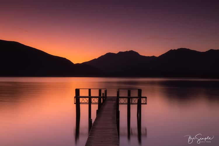
Lake Te Anau
53.81 km to location
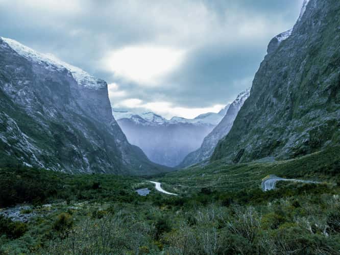
Monkey Creek
102.79 km to location
Lake Te Anau
53.81 km to location
Lake Te Anau
53.81 km to location
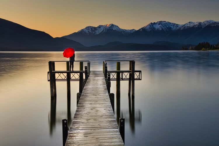
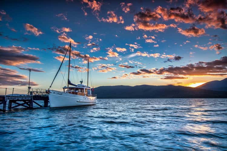
Faith, Lake Te Anau, South Island
53.49 km to location
View from the Tutoko Bridge
109.1 km to location
Lake Te Anau
64.33 km to location
Lake Marian, Fiordland National Park
107.15 km to location
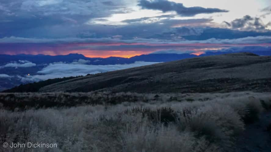
Te Anau lakeview, Fiordland
53.64 km to location
Lake Te Anau
53.81 km to location

Doubtful Sound
0 km to location
Faith, Lake Te Anau, South Island
53.49 km to location
Lake Marian, Fiordland National Park
107.15 km to location
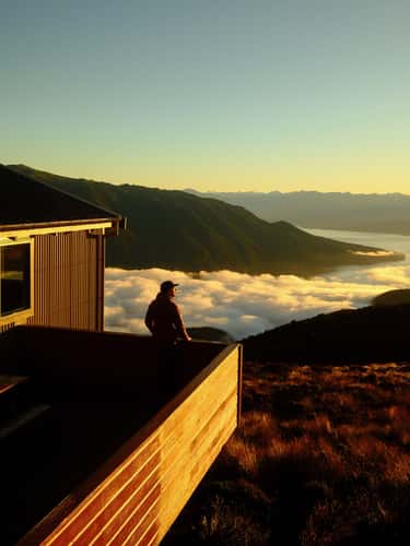
Luxmore Hut at Kepler Track, Fiordland National Park
46.35 km to location
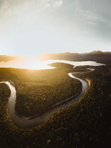
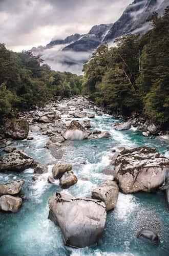
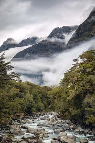
Waiau River, Fiordland National Park
49.33 km to location
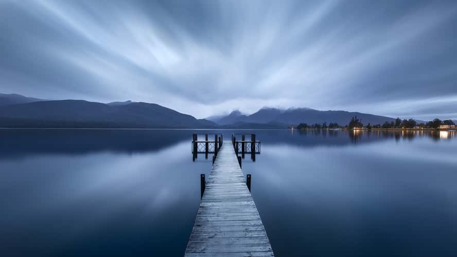
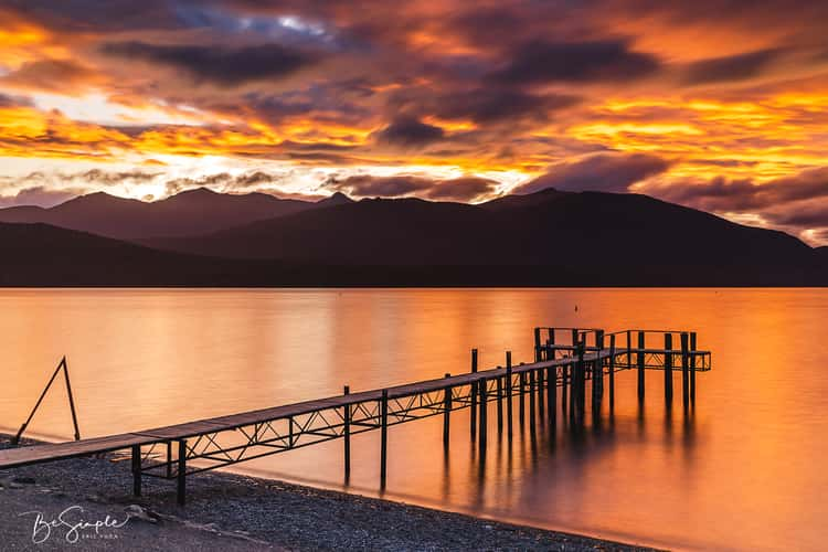
Te Anau Lakeshore
53.57 km to location
Te Anau Lakeshore
53.57 km to location
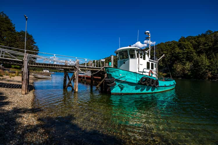
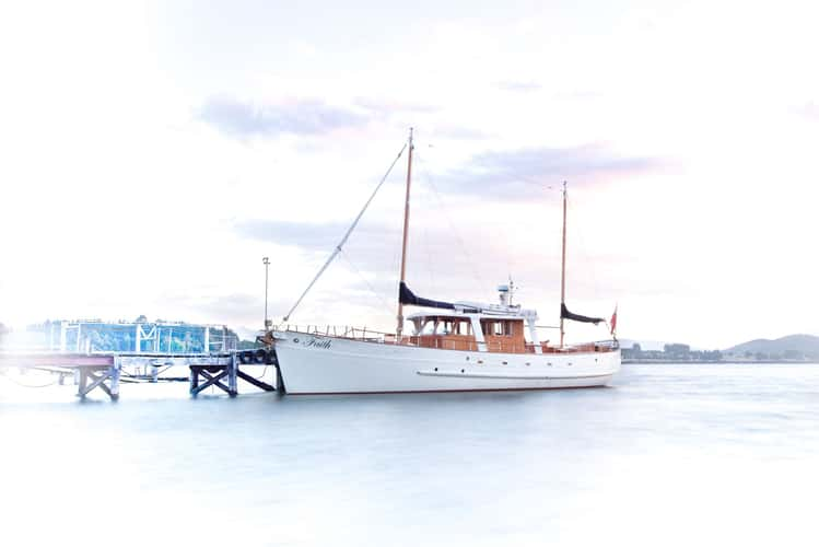
Fishing Boat Lake Manapouri South Island
49.01 km to location
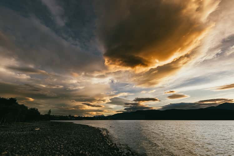
Te Anau Beach
53.83 km to location
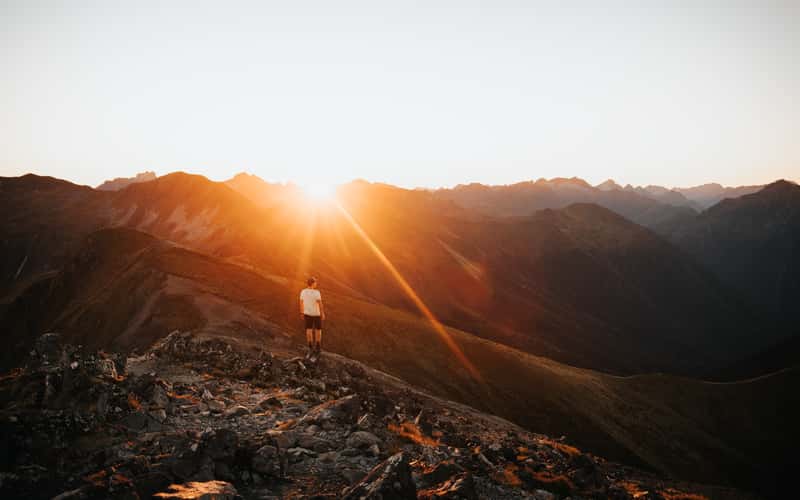
Luxmore Summit at Kepler Track, Fiordland National Park
43.98 km to location
Surrounding mountains Lake Marian, Fiordland National Park
106.91 km to location
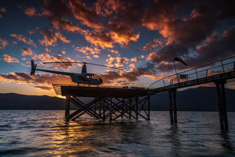
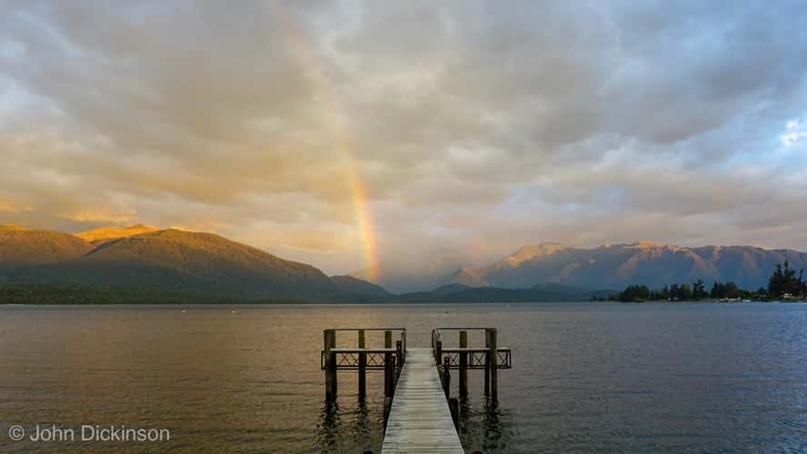
Helicopter Lake Te Anau sunset South Island
53.58 km to location
Kepler Track between Luxmore Hut and Brod Bay
47.12 km to location
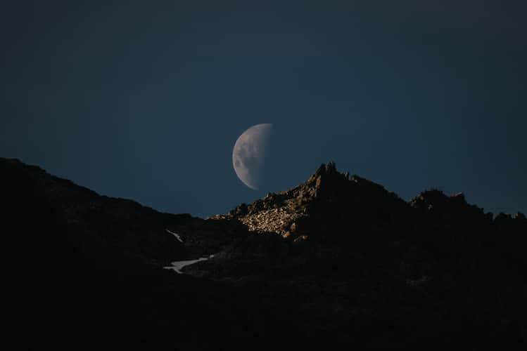
Ridge line near Hanging Valley Shelter, Kepler Track
40.7 km to location