191 photos in 77 spots
- Show
- all photos
- only best photo/spot
- Order by
- Popularity
- Newest
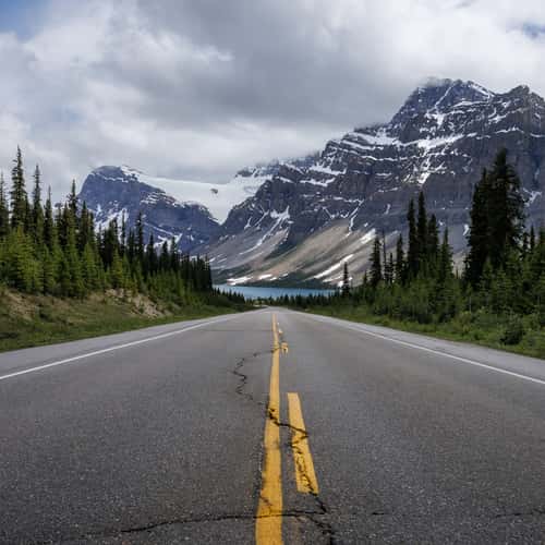
Approach to Bow Lake
49.56 km to location
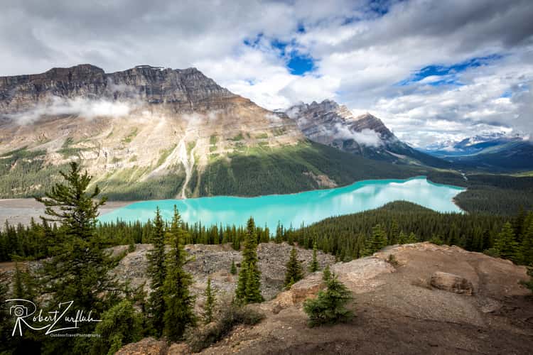
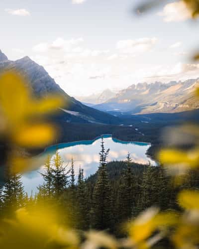
Peyto Lake Overview from Bow Summit
53.93 km to location
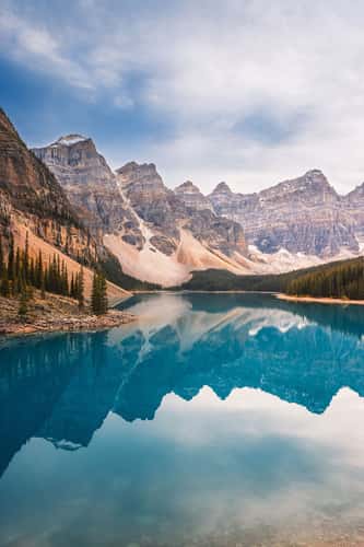
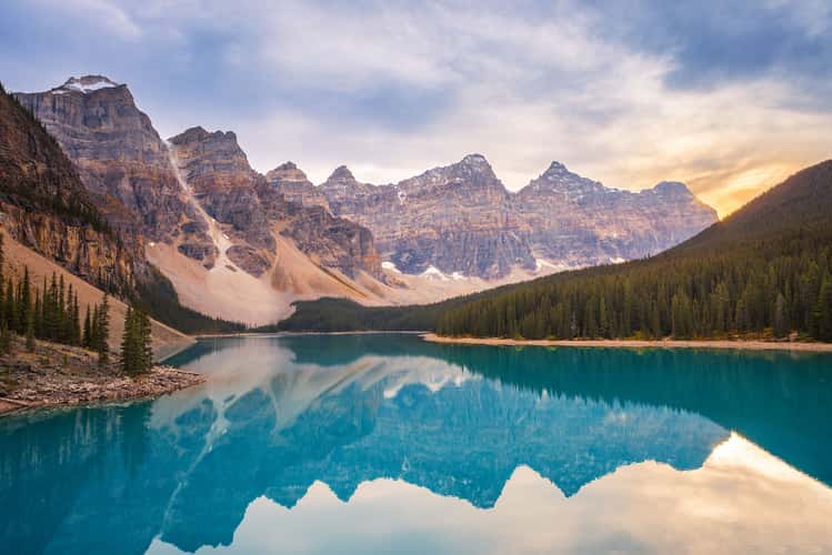
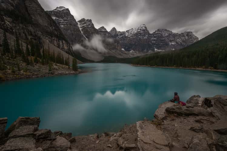
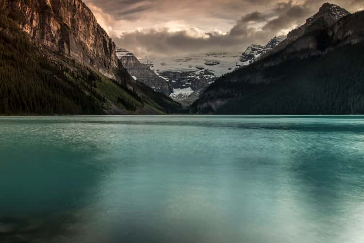
Moraine Lake - Banff National Park, Alberta
13.43 km to location
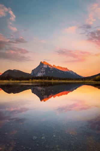
Vermilion Lake
33.54 km to location

Moraine Lake - Banff National Park, Alberta
13.43 km to location
Moraine Lake - Banff National Park, Alberta
13.43 km to location
Vermilion Lake
33.54 km to location
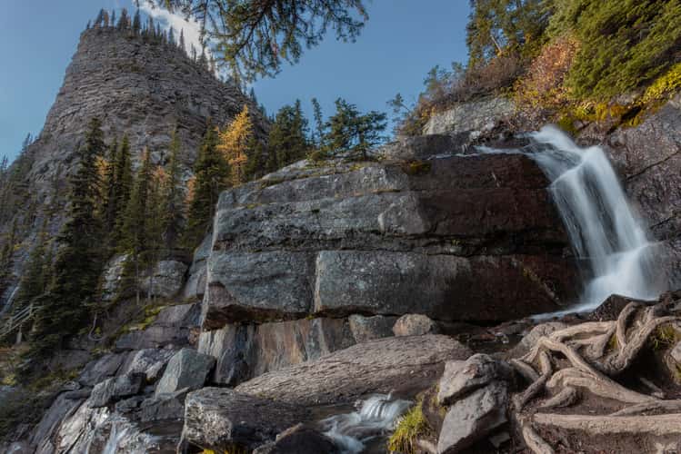
Small waterfall from Lake Agnes
18.78 km to location
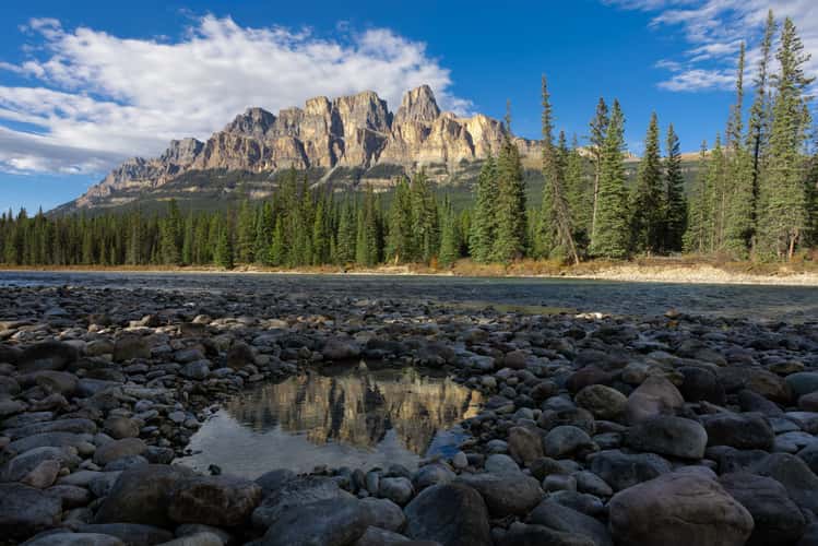
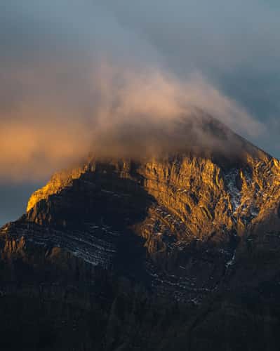
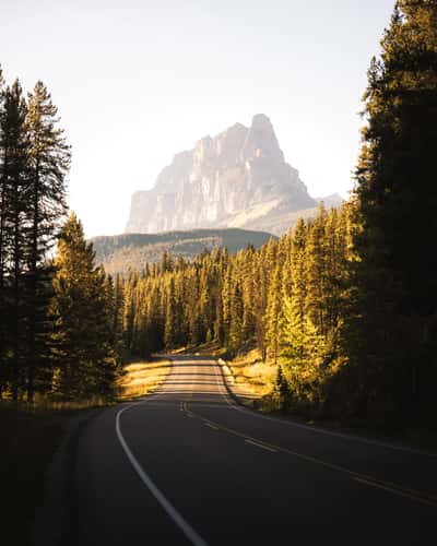
Castle Mtn Junction
10.41 km to location
Moraine Lake - Banff National Park, Alberta
13.43 km to location
Lake Minnewanka Scenic Dr
37.4 km to location
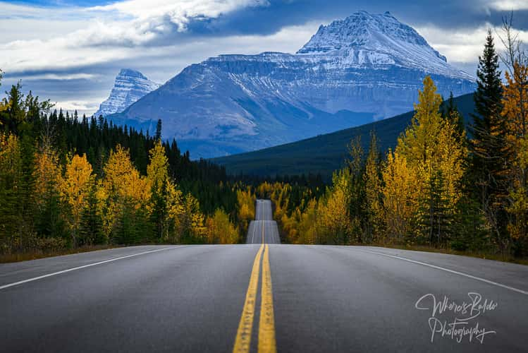
Bow Valley Parkway
12.04 km to location
Bow Valley Parkway
12.04 km to location
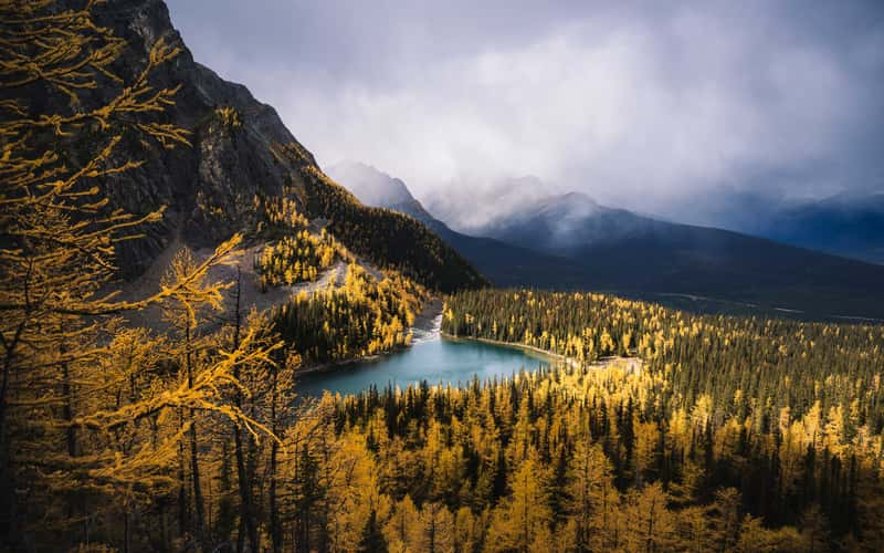
Lower Waterfowl Lake
70.49 km to location
Lake Agnes, Northern Shoreline
18.97 km to location
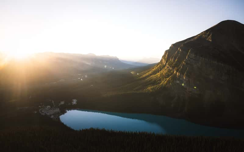
Lake Louise Mountain View, from Town
15.16 km to location
Icefield Parkway, Southern Direction to Bow Lake
51.44 km to location
Banff National Park
93.34 km to location
Arnica Lake, Banff Nationalpark
15.12 km to location
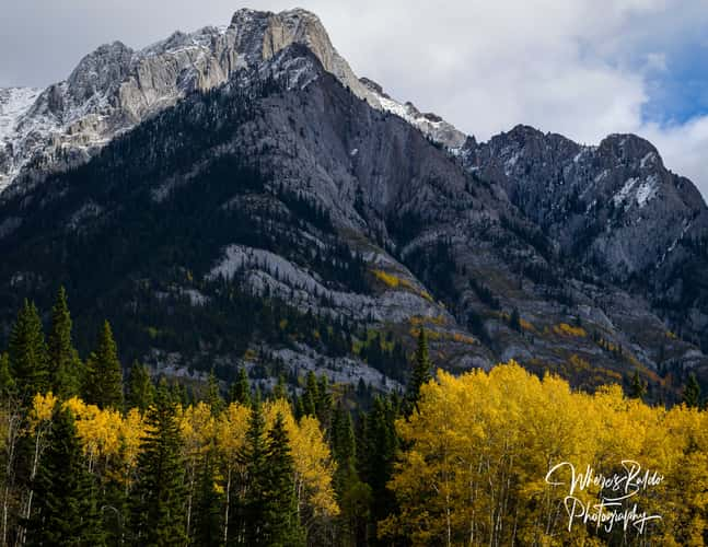
Hillsdale Meadow
20.52 km to location
Little Beehive, Lake Louise
18.63 km to location
Icefield Parkway, Close to Stutfield Glacier
138.31 km to location
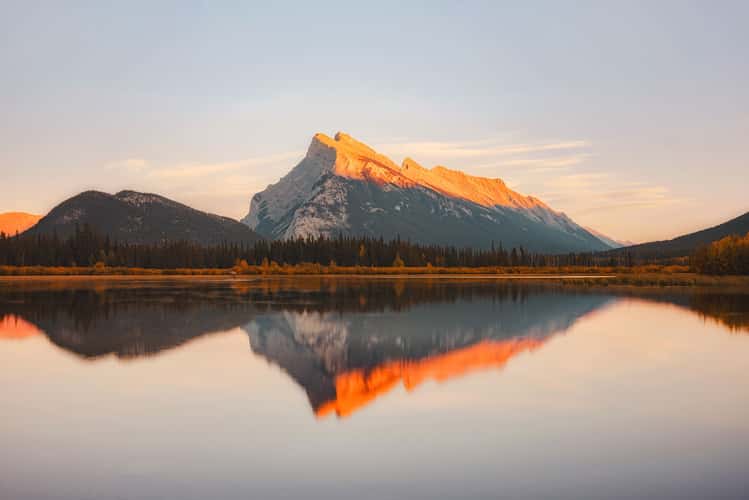
Mount Rundle from Vermillion Lakes
33.07 km to location
Castle Mtn Junction
10.41 km to location
Peyto Lake, Alternative Viewpoint
53.66 km to location
Peyto Lake, Hike to alternative Viewpoint
53.69 km to location
Street to Moraine Lake
11.45 km to location
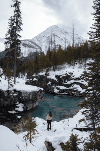
Marble Canyon
20.73 km to location
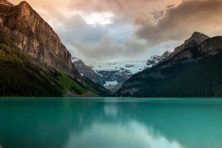
Lake Louise - Banff National Park, Alberta, Canada
17.35 km to location
Lake Louise - Banff National Park, Alberta, Canada
17.35 km to location