40 photos in 26 spots
- Show
- all photos
- only best photo/spot
- Order by
- Popularity
- Newest
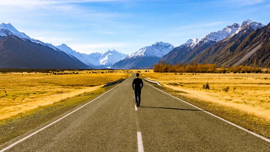
Road to Aoraki / Mount Cook
44.01 km to location
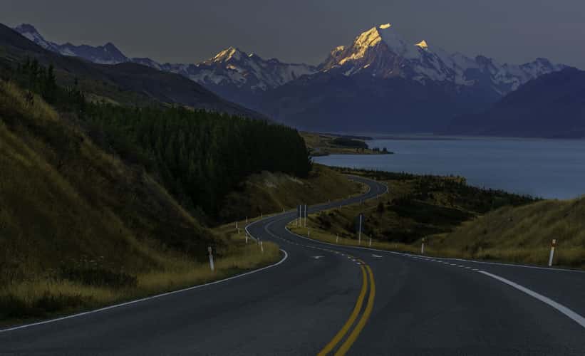
Mount Sefton-Mount Cook Highway
48.99 km to location
Peter's Lookout
11.22 km to location
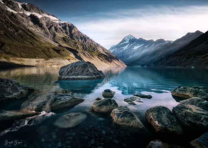
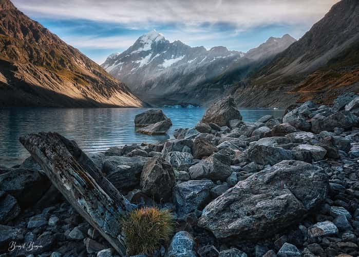
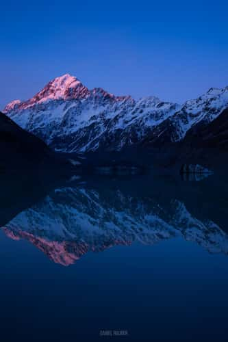
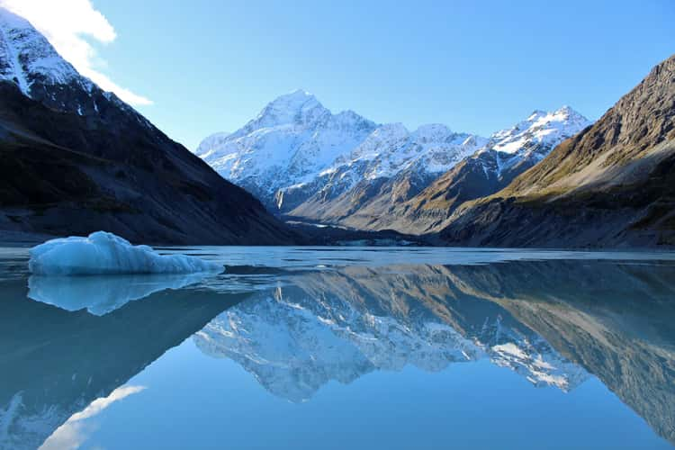
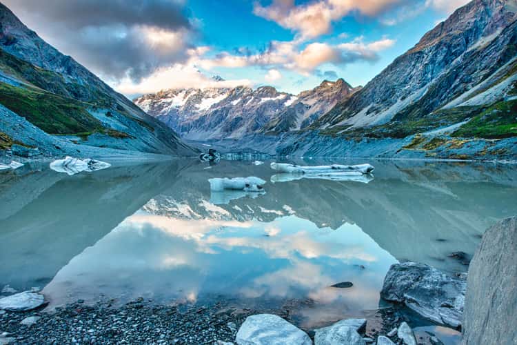
Mt. Cook from Hooker Lake
55.76 km to location
Sealy Tarns, Mount Cook National Park
53.32 km to location
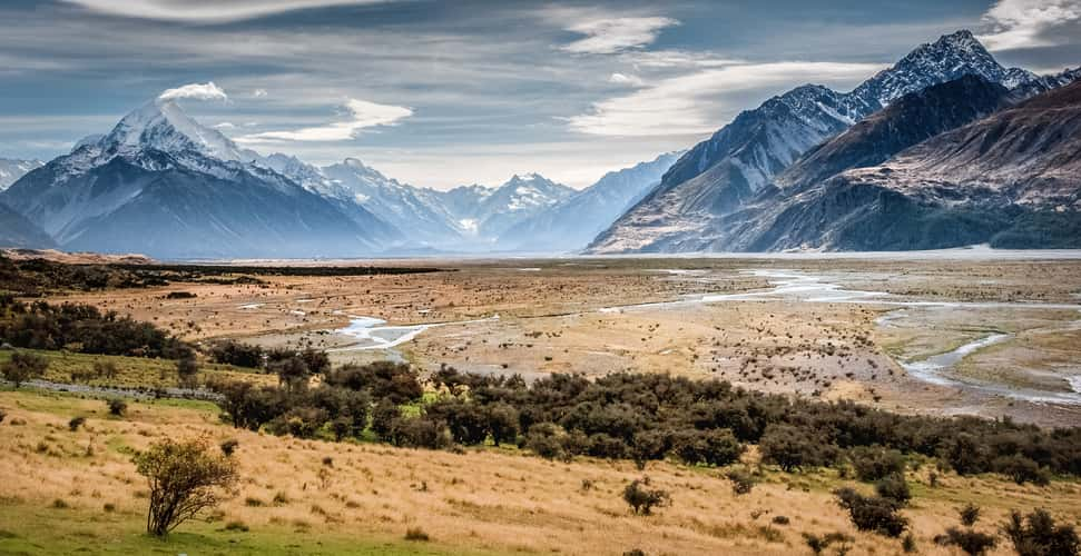
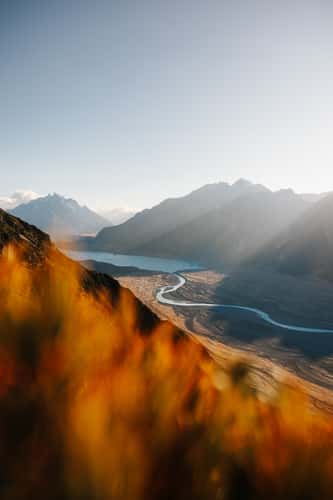
Tasman River flood plain
37.72 km to location

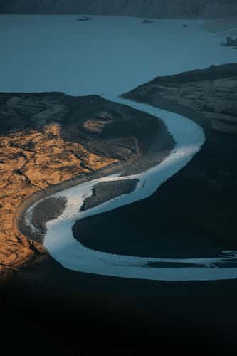
Streets of Lake Pukaki
11.6 km to location
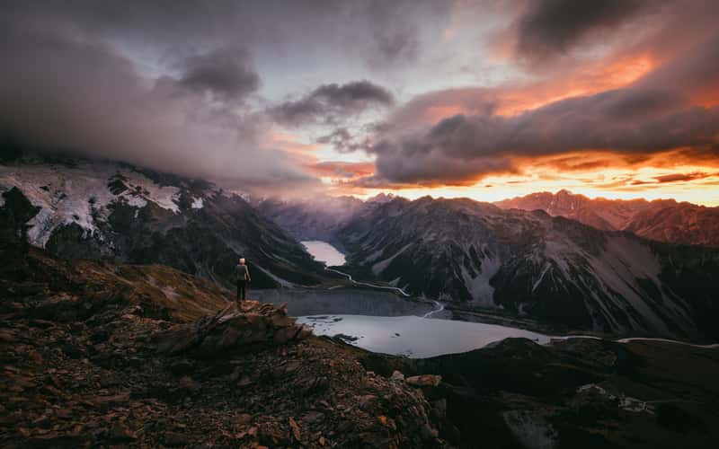
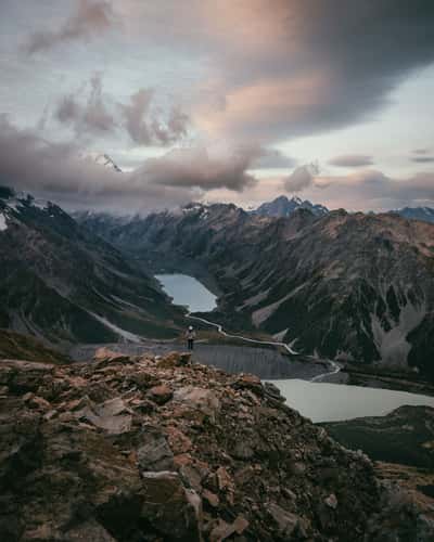
Mueller Lake and Hooker Lake view, Mount Cook National Park
52.39 km to location
Mt. Cook from Hooker Lake
55.76 km to location
Mt. Cook from Hooker Lake
55.76 km to location
Mt. Cook from Hooker Lake
55.76 km to location
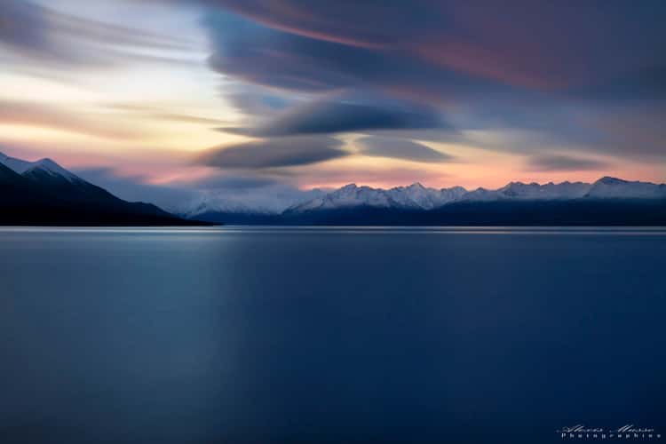
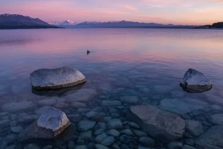
Lake Pukaki
0 km to location
Mt. Cook from Hooker Lake
55.76 km to location
Mt. Cook from Hooker Lake
55.76 km to location
Mount Ollivier Peak near Mueller Hut
52.03 km to location
Streets of Lake Pukaki
11.6 km to location
Sealy Tarns, Mount Cook National Park
53.32 km to location
First Swing Bridge, Hooker Valley Track
52.77 km to location
Lake Pukaki
0 km to location
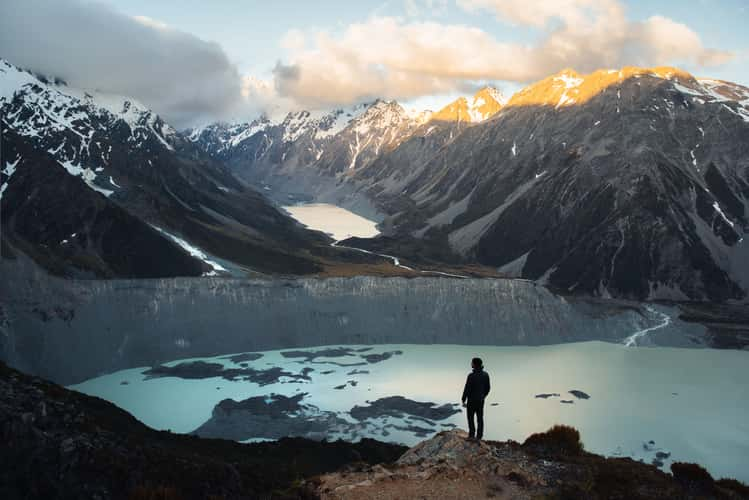
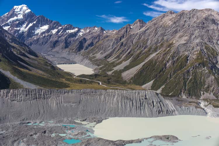
Tasman glacier viewpoint below Mount Wakefield
51.93 km to location
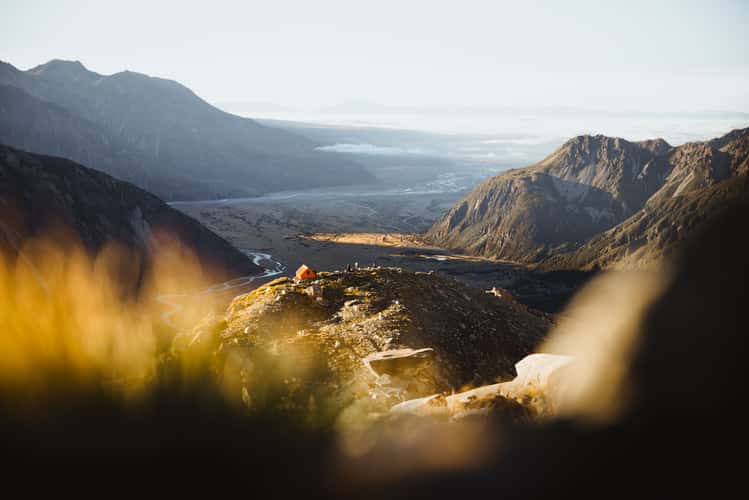
Valley view above Sefton Bivouac, Mount Cook National Park
56.23 km to location
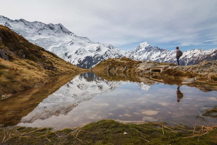
Sealy Tarns, Mount Cook National Park
53.32 km to location
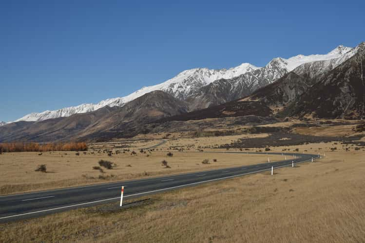
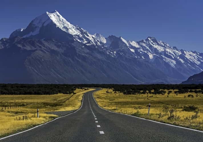
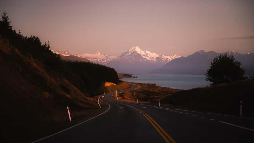
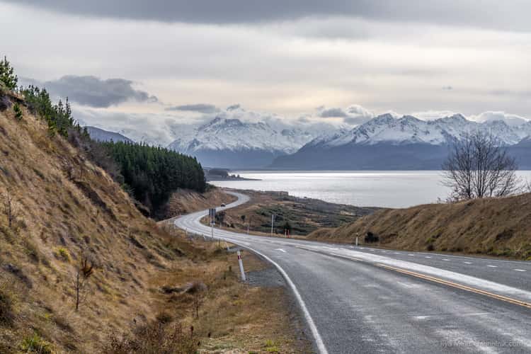
Drive to Mount Cook
33.57 km to location
Tasman glacier viewpoint below Mount Wakefield
51.93 km to location

Sefton Bivouac, Mount Cook National Park
55.94 km to location
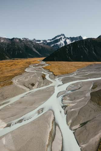
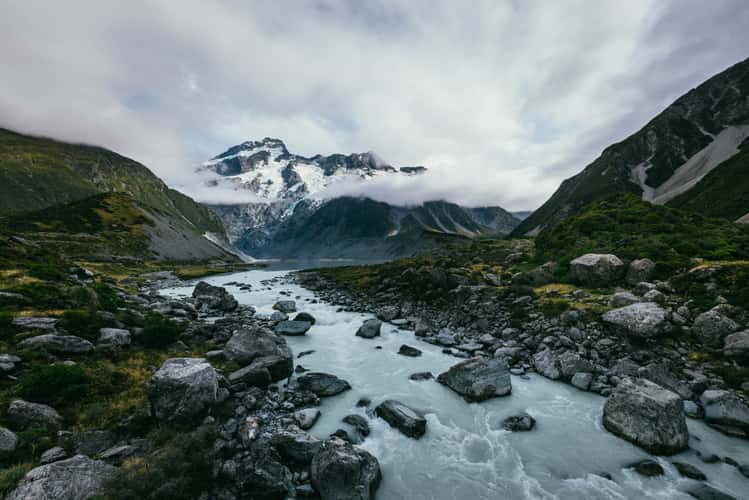
Glacier rivers, Mount Cook National Park
48.64 km to location
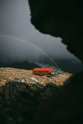
Rainbow at Mueller Hut, Mount Cook National Park
52.47 km to location
Peter's Lookout
11.22 km to location
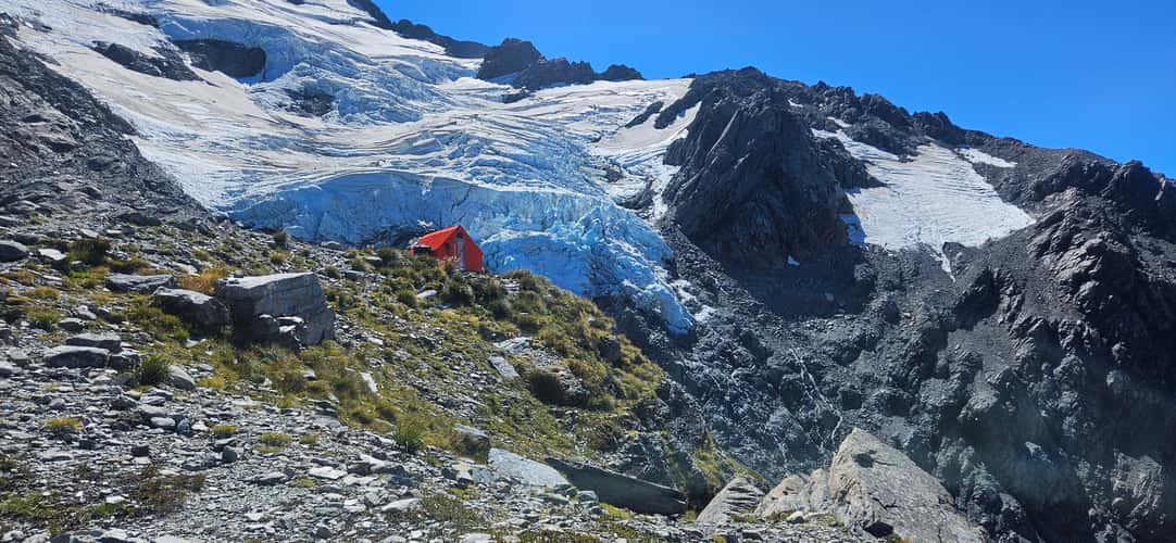
Sefton Bivouac, Mount Cook National Park
55.94 km to location
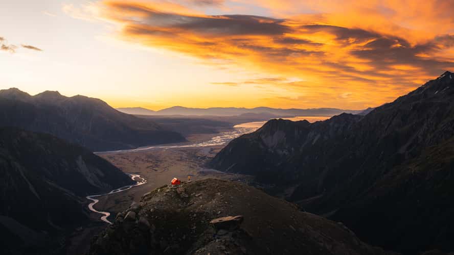
Valley view above Sefton Bivouac, Mount Cook National Park
56.23 km to location